Transport Functions
Multimodal
Hub Profile
Place type
Populated place
Region
Limpopo
Time zone
Africa/Johannesburg
Elevation
1,253 m
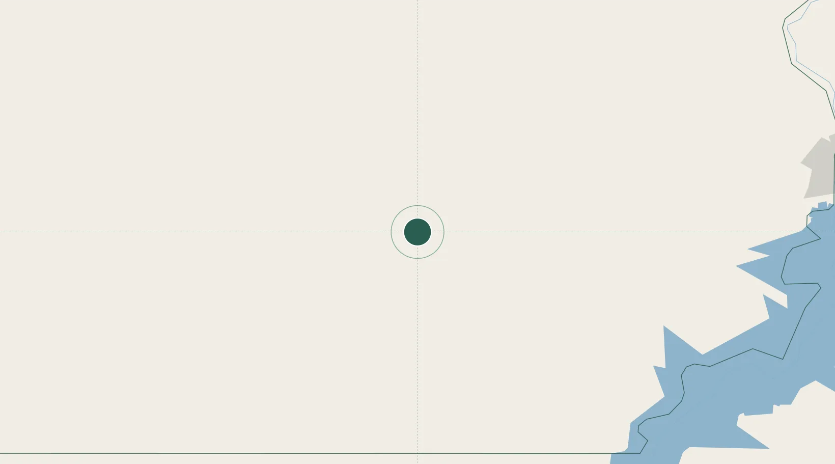
Location
Nearby Logistics Neighbours
Cities
- 1Morningside281 km
- 2Robertsham300 km
- 3Kenna381 km
- 4Asyut412 km
- 5Al Qusayr554 km
Ports
- 1Al Qusayr554 km
- 2Hamrawein554 km
- 3Safaja560 km
- 4El Ghardaqa584 km
- 5Zeit Bay Terminal612 km
Airports
- 1Abu Simbel Airport281 km
- 2Aswan International Airport350 km
- 3Sohag International Airport365 km
- 4Asyut International Airport391 km
- 5Luxor International Airport392 km
Trade Zones
- 1Toshka New City243 km
- 2Esna Center Investment Zone360 km
- 3Farafra City Investment Zone383 km
- 4El-Kawthar District Industrial Zone392 km
- 5Qift (Keft) Free Zone410 km
DatabookThe Record of Consolidated Knowledge
South Africa beyond logistics?