Transport Functions
Port
Airport
Postal
Hub Profile
Place type
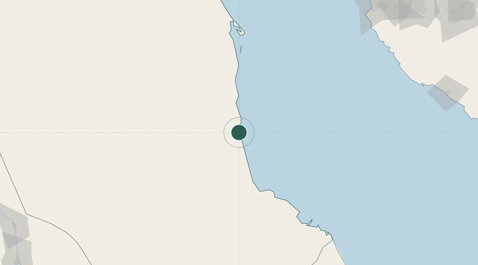
Regional capital
Region
Red Sea
Population
489,725
Time zone
Africa/Khartoum
Elevation
10 m
Logistics facilities
4
Location
Nearby Logistics Neighbours
Cities
- 1Marsa Bashayer23 km
- 2Shuaibah268 km
- 3Jeddah283 km
- 4Tusdeer Free Zone291 km
- 5Jeddah Yachts Club Port301 km
Ports
- 1Sawakin Harbor51 km
- 2Jiddah293 km
- 3Rabigh395 km
- 4Mitsiwa Harbor500 km
- 5Yanbu508 km
Airports
Trade Zones
- 1Red Sea Free Zone33 km
- 2Suakin Free Zone53 km
- 3Jeddah Industrial City (Second)270 km
- 4Jeddah Industrial City (Third)277 km
- 5Jeddah Industrial City (First)291 km
DatabookThe Record of Consolidated Knowledge
Sudan beyond logistics?