Large airport · Sudan
Port Sudan New International AirportHSPN
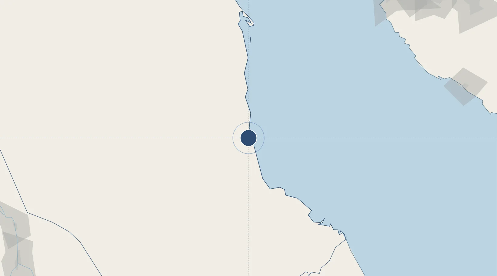
19.4346°, 37.2341°
8,202 ft
Longest runway
1
Runways
135 ft
Elevation
Runway & Layout

Radio Frequencies
TWR/APP
128.1 MHz
Port Sudan Tower
Navaids
PSD VOR-DME Port Sudan 113.10 MHz
PSD NDB Port Sudan 339 kHz
Runways · 1
| Runway | Dimensions | Surface | True heading | Lit |
|---|---|---|---|---|
| 16/34 | 8,202 × 148ft | Asphalt | 165° | ✓ |
Airport Specifications
IATA code
PZU
ICAO code
HSPN
Airport class
Large airport
Scheduled service
Yes
Runway surface
Asphalt
Served city
Port Sudan
Location
Nearby Logistics Neighbours
Airports
- 1King Faisal Naval Base293 km
- 2King Abdulaziz International Airport320 km
- 3Mecca East Airport364 km
- 4Taif International Airport413 km
- 5Kassala Airport460 km
Cities
- 1Marsa Bashayer9 km
- 2Port Sudan16 km
- 3Shuaibah276 km
- 4Jeddah295 km
- 5Tusdeer Free Zone303 km
Ports
- 1Port Sudan18 km
- 2Sawakin Harbor36 km
- 3Jiddah305 km
- 4Rabigh409 km
- 5Mitsiwa Harbor486 km
Trade Zones
- 1Red Sea Free Zone18 km
- 2Suakin Free Zone37 km
- 3Jeddah Industrial City (Second)280 km
- 4Jeddah Industrial City (Third)287 km
- 5Jeddah Industrial City (First)303 km
DatabookThe Record of Consolidated Knowledge
Sudan beyond logistics?