Free Trade Zone · Sudan

Red Sea Free Zone Active
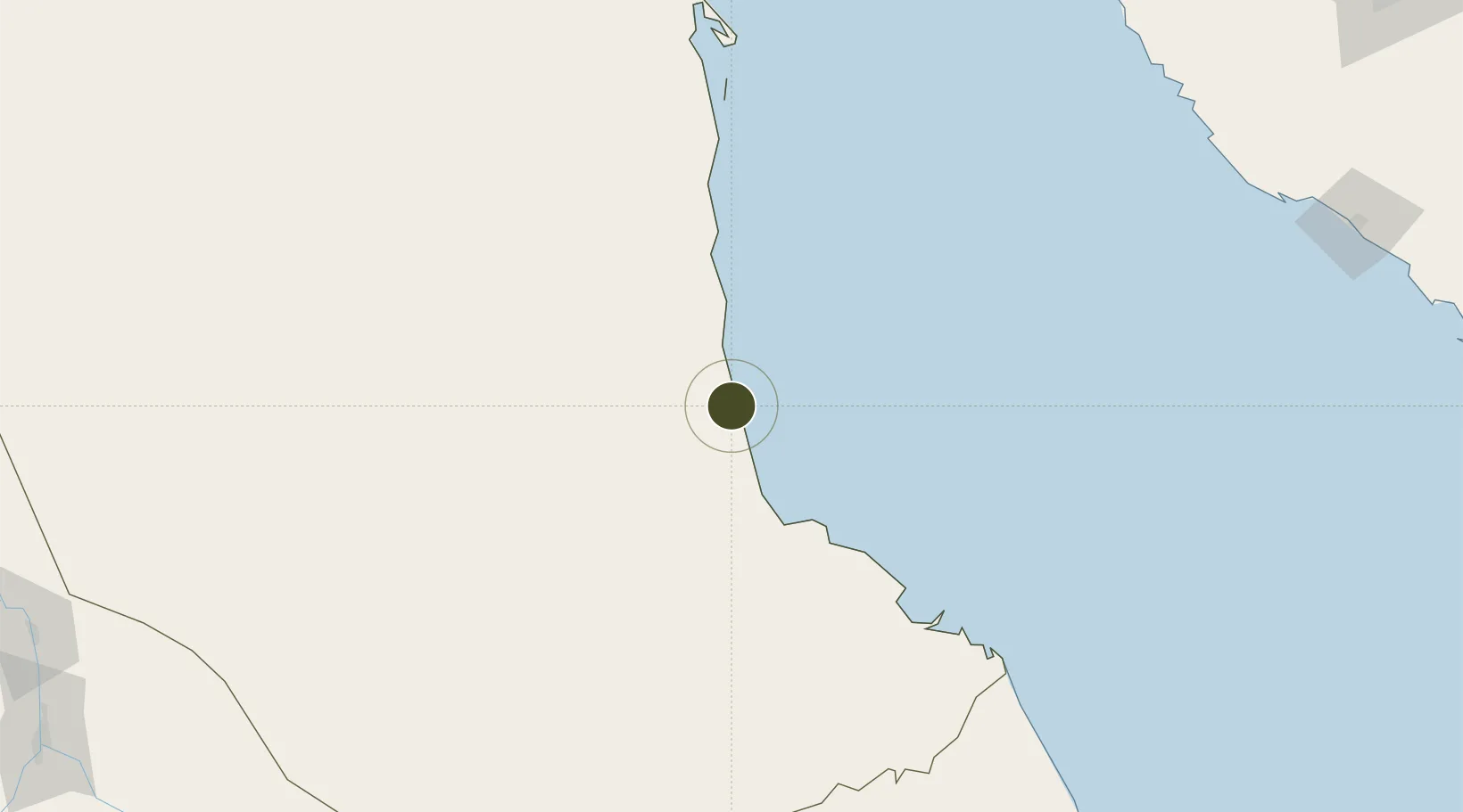
19.2857°, 37.2880°
250 ha
Zone area
18.1 km
Nearest port
17.5 km
Nearest airport

Gateway access

Nearest neighbours — logibook spatial index (haversine) over the source coordinates

Zone profile

Zone type
Free Trade Zone
Open Zone Map
Region
Red Sea
Open Zone Map
Status
Active
Open Zone Map
Management
Public-Private Partnership
Open Zone Map
Operator
Sudanese Free Zones and Markets Co.
Open Zone Map
Legal framework
2009 Law on Free Zones & Regions
Open Zone Map

Location

Location of ozm-4361
Natural Earth 10m (public domain) · Red Sea · ozm-4361 · 19.29, 37.29GoogleOSMYandex

Nearby Logistics Neighbours

Ports
  1. 1Sawakin Harbor18 km
  2. 2Port Sudan35 km
  3. 3Jiddah314 km
  4. 4Rabigh422 km
  5. 5Mitsiwa Harbor469 km
Nearest neighbours — logibook spatial index (haversine) over the source coordinates
Airports
  1. 1Port Sudan New International Airport18 km
  2. 2King Faisal Naval Base302 km
  3. 3King Abdulaziz International Airport330 km
  4. 4Mecca East Airport370 km
  5. 5Taif International Airport418 km
Nearest neighbours — logibook spatial index (haversine) over the source coordinates
Cities
  1. 1Marsa Bashayer11 km
  2. 2Port Sudan33 km
  3. 3Shuaibah280 km
  4. 4Jeddah303 km
  5. 5Tusdeer Free Zone312 km
Nearest neighbours — logibook spatial index (haversine) over the source coordinates
Trade Zones
  1. 1Suakin Free Zone20 km
  2. 2Jeddah Industrial City (Second)287 km
  3. 3Jeddah Industrial City (Third)294 km
  4. 4Jeddah Industrial City (First)311 km
  5. 5Jeddah Modon Oasis358 km
Nearest neighbours — logibook spatial index (haversine) over the source coordinates
DatabookThe Record of Consolidated Knowledge
Sudan beyond logistics?
Browse databook

All Sources

Trade ZonesOpen Zone Map
CC BY
Portsthe NGA World Port Index
Public domain (US gov)
AirportsOurAirports
Public domain
LocationsUN/LOCODE
UN/LOCODE — free
← Sudan trade zones