Transport Functions
Multimodal
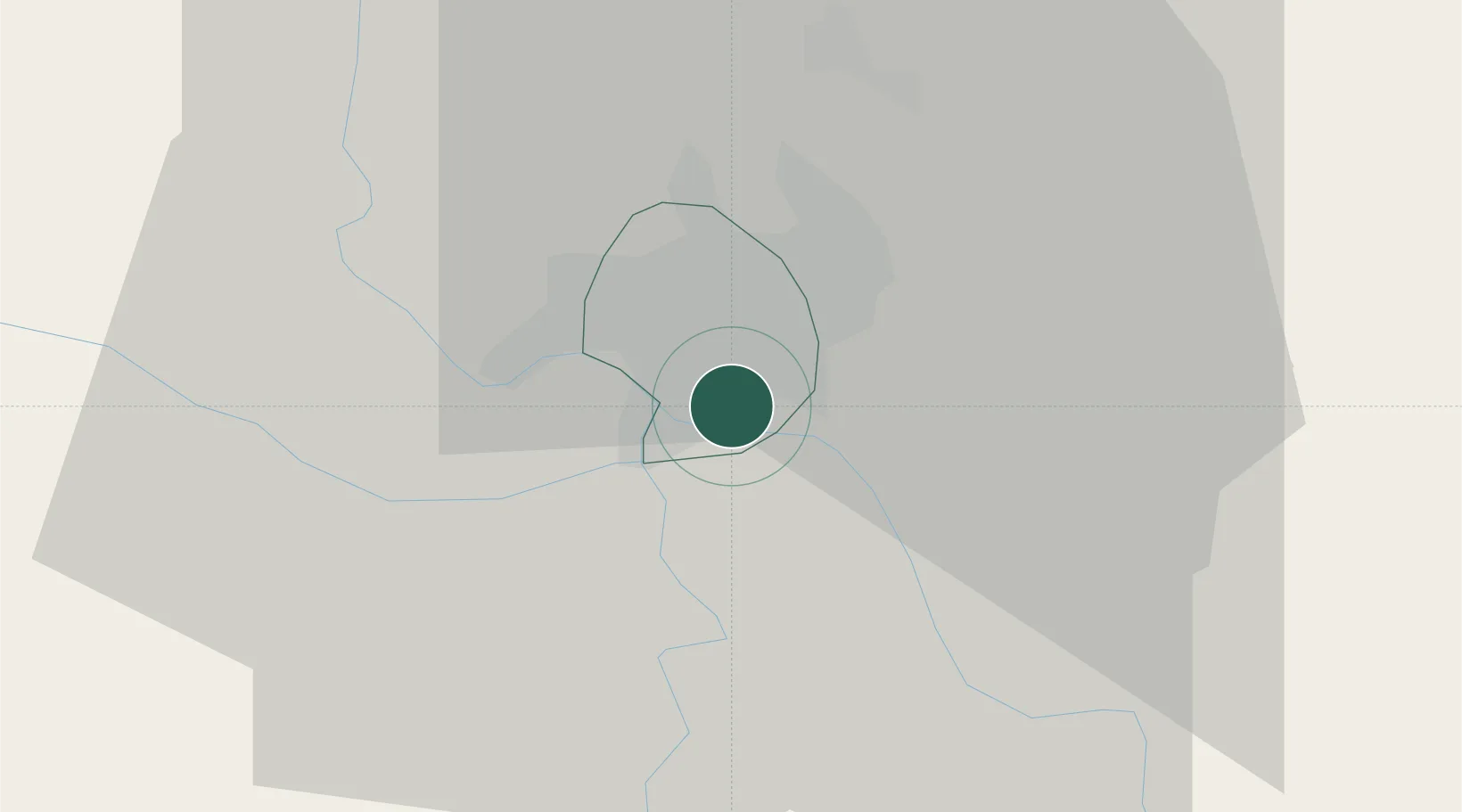
Hub Profile
Place type
Urban district
Region
N’Djaména
Time zone
Africa/Ndjamena
Elevation
295 m
Location
Nearby Logistics Neighbours
Cities
- 1Garoua360 km
- 2Komé441 km
- 3Gombe472 km
- 4Borno480 km
- 5Ngaoundéré551 km
Ports
- 1Douala1073 km
- 2Calabar1086 km
- 3Limboh Terminal1112 km
- 4Kole Oil Terminal1129 km
- 5Moudi Marine Terminal1145 km
Airports
- 1N'Djamena International Airport8 km
- 2Salak Airport203 km
- 3Maiduguri International Airport219 km
- 4Garoua International Airport358 km
- 5Moundou Airport399 km
Trade Zones
DatabookThe Record of Consolidated Knowledge
Chad beyond logistics?