Large airport · Egypt

Aswan International AirportHESN
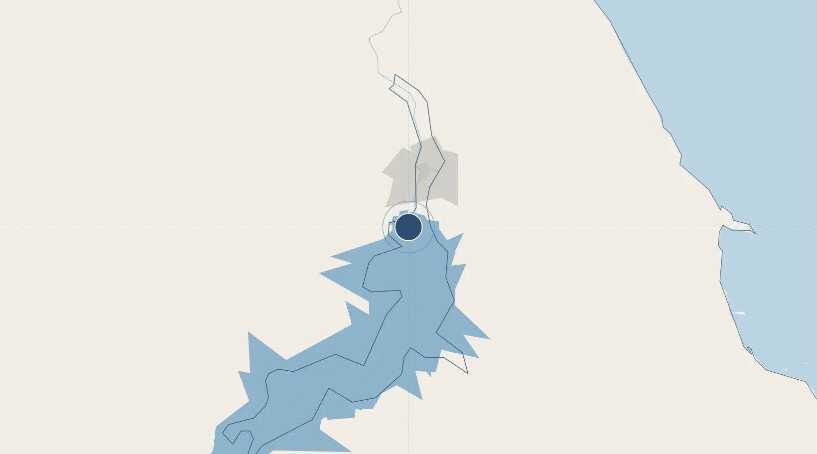
23.9611°, 32.8204°
11,161 ft
Longest runway
1
Runways
650 ft
Elevation

Runway & Layout

Aswan International Airport runway & taxiway layout
Runway & taxiway layout — OpenStreetMap (ODbL) / OurAirports

Radio Frequencies

TWR
118.3 MHz
APP
119.35 MHz
RADAR
EMR
121.9 MHz
FIRE
RDO
585.9 MHz
OurAirports

Navaids

ASN VOR-DME Aswan 112.30 MHz
OurAirports

Runways · 1

RunwayDimensions SurfaceTrue headingLit
17/35 11,161 × 148ft Asphalt 171°
OurAirports

Airport Specifications

IATA code
ASW
OurAirports
ICAO code
HESN
OurAirports
Airport class
Large airport
OurAirports
Scheduled service
Yes
OurAirports
Runway surface
Asphalt
OurAirports
Served city
Aswan
OurAirports

Location

Location of HESN
Natural Earth 10m (public domain) · Aswan · HESN · 23.96, 32.82GoogleOSMYandex

Nearby Logistics Neighbours

Airports
  1. 1Luxor International Airport191 km
  2. 2Abu Simbel Airport216 km
  3. 3Marsa Alam International Airport252 km
  4. 4Berenice International Airport / Banas Cape Air Base268 km
  5. 5Sohag International Airport286 km
Nearest neighbours — logibook spatial index (haversine) over the source coordinates
Cities
  1. 1Abu Ghosoun247 km
  2. 2Port Ghalib253 km
  3. 3Al Qusayr280 km
  4. 4Soma Bay Marina342 km
  5. 5Seshego350 km
Nearest neighbours — logibook spatial index (haversine) over the source coordinates
Ports
  1. 1Al Qusayr280 km
  2. 2Hamrawein290 km
  3. 3Safaja329 km
  4. 4El Ghardaqa376 km
  5. 5Zeit Bay Terminal438 km
Nearest neighbours — logibook spatial index (haversine) over the source coordinates
Trade Zones
  1. 1Esna Center Investment Zone154 km
  2. 2Toshka New City187 km
  3. 3Qift (Keft) Free Zone217 km
  4. 4El-Kawthar District Industrial Zone312 km
  5. 5Safaga Free Zone330 km
Nearest neighbours — logibook spatial index (haversine) over the source coordinates
DatabookThe Record of Consolidated Knowledge
Egypt beyond logistics?
Browse databook

All Sources

AirportsOurAirports
Public domain
Portsthe NGA World Port Index
Public domain (US gov)
LocationsUN/LOCODE
UN/LOCODE — free
Trade Zonesthe World Bank SEZ database
CC BY 4.0
Trade ZonesOpen Zone Map
CC BY
InfrastructureOpenStreetMap
ODbL 1.0
← Egypt airports