Export Processing Zone · Kenya

Naivasha Industrial Park Active
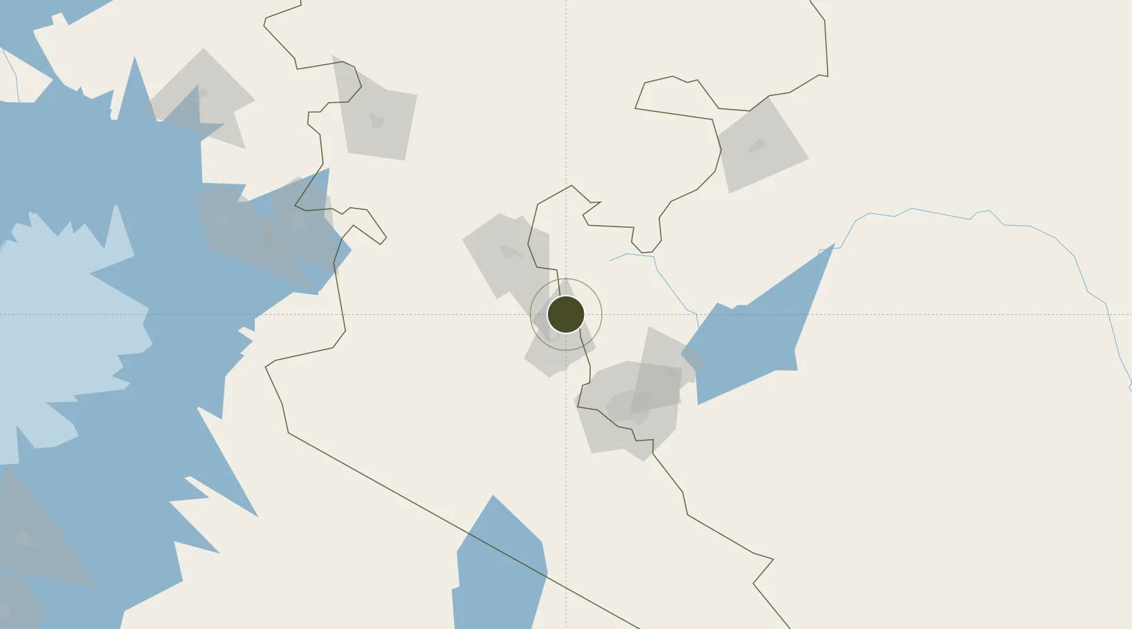
-0.6803°, 36.4364°
404 ha
Zone area
498.3 km
Nearest port
52.5 km
Nearest airport

Gateway access

Nearest neighbours — logibook spatial index (haversine) over the source coordinates

Zone profile

Zone type
Export Processing Zone
Open Zone Map
Region
Rift Valley
Open Zone Map
Status
Active
Open Zone Map
Management
Public
Open Zone Map
Operator
Special Economic Zones Authority
Open Zone Map
Legal framework
Special Economic Zones Act No. 16 of 2015
Open Zone Map

Location

Location of ozm-2662
Natural Earth 10m (public domain) · Rift Valley · ozm-2662 · -0.68, 36.44GoogleOSMYandex

Nearby Logistics Neighbours

Ports
  1. 1Malindi498 km
  2. 2Kilifi503 km
  3. 3Mombasa520 km
  4. 4Lamu527 km
  5. 5Tanga573 km
Nearest neighbours — logibook spatial index (haversine) over the source coordinates
Airports
  1. 1Lanet Military Airstrip53 km
  2. 2Moi Air Base82 km
  3. 3Nairobi Wilson Airport83 km
  4. 4Jomo Kenyatta International Airport90 km
  5. 5Nanyuki Airport96 km
Nearest neighbours — logibook spatial index (haversine) over the source coordinates
Cities
  1. 1Naivasha4 km
  2. 2Nairobi88 km
  3. 3Mwingi183 km
  4. 4Bungoma250 km
  5. 5Siaya253 km
Nearest neighbours — logibook spatial index (haversine) over the source coordinates
Trade Zones
  1. 1Oserian Two Lakes Industrial Park20 km
  2. 2Tatu City Special Economic Zone74 km
  3. 3Northlands Special Economic Zone80 km
  4. 4Compact Free Trade Zone88 km
  5. 5Ahti River Export Processing Zone106 km
Nearest neighbours — logibook spatial index (haversine) over the source coordinates
DatabookThe Record of Consolidated Knowledge
Kenya beyond logistics?
Browse databook

All Sources

Trade ZonesOpen Zone Map
CC BY
Portsthe NGA World Port Index
Public domain (US gov)
AirportsOurAirports
Public domain
LocationsUN/LOCODE
UN/LOCODE — free
← Kenya trade zones