Transport Functions
Multimodal
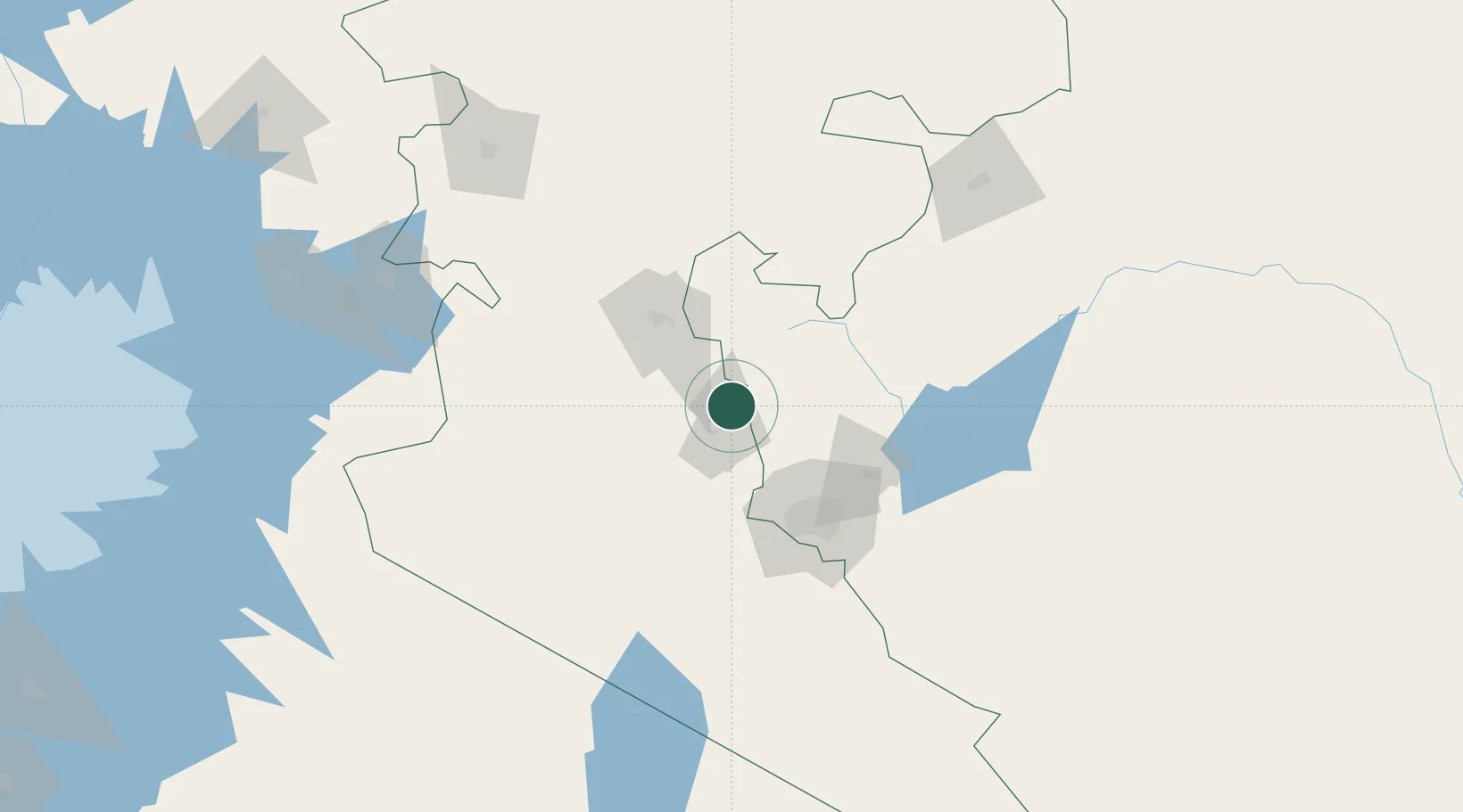
Hub Profile
Place type
Populated place
Region
Nakuru County
Population
198,444
Time zone
Africa/Nairobi
Elevation
1,902 m
Logistics facilities
1
Location
Nearby Logistics Neighbours
Airports
- 1Lanet Military Airstrip56 km
- 2Moi Air Base79 km
- 3Nairobi Wilson Airport80 km
- 4Jomo Kenyatta International Airport87 km
- 5Nanyuki Airport99 km
Trade Zones
DatabookThe Record of Consolidated Knowledge
Kenya beyond logistics?