Runway & Layout

Airport Specifications
ICAO code
HKNY
Airport class
Medium airport
Scheduled service
No
Served city
Nanyuki
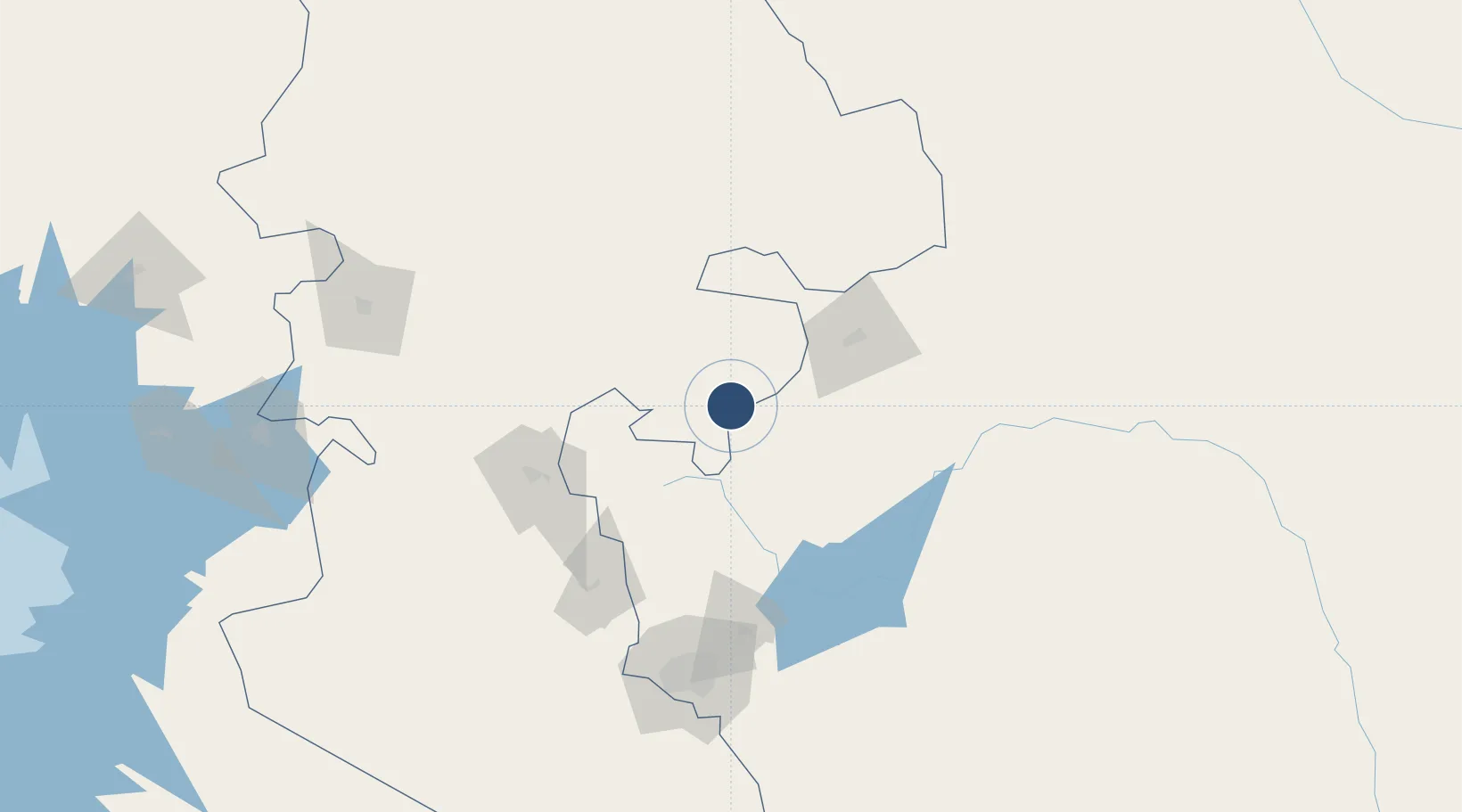
Location
Nearby Logistics Neighbours
Airports
- 1Nanyuki Airport11 km
- 2Lanet Military Airstrip103 km
- 3Mulika Lodge Airport131 km
- 4Moi Air Base147 km
- 5Jomo Kenyatta International Airport151 km
Trade Zones
DatabookThe Record of Consolidated Knowledge
Kenya beyond logistics?