Free Trade Zone · Kenya

Compact Free Trade Zone Under Development
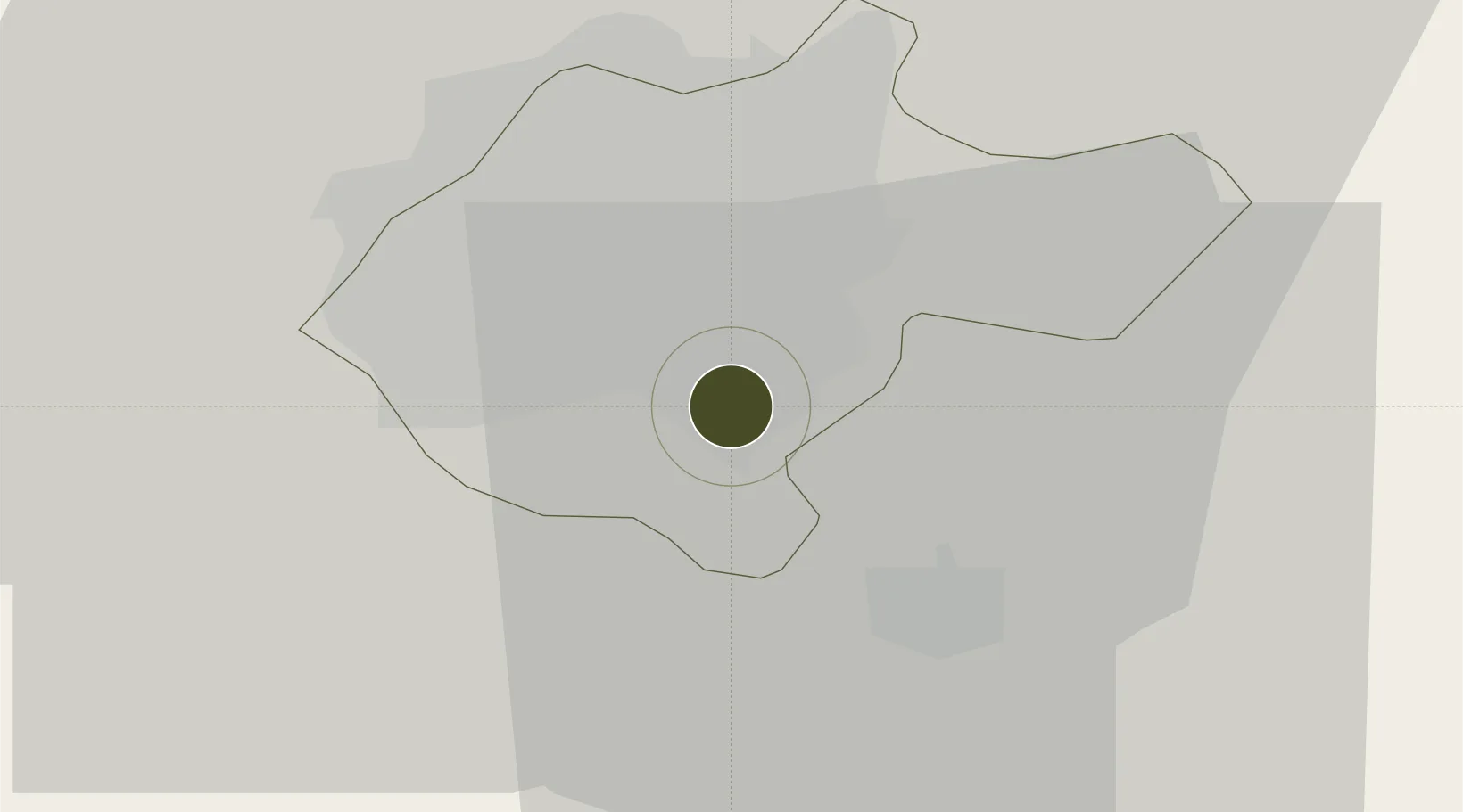
-1.3347°, 36.8828°
40 ha
Zone area
417.4 km
Nearest port
5.4 km
Nearest airport

Gateway access

Nearest neighbours — logibook spatial index (haversine) over the source coordinates

Zone profile

Zone type
Free Trade Zone
Open Zone Map
Region
Nairobi
Open Zone Map
Status
Under Development
Open Zone Map
Management
Public
Open Zone Map
Operator
SEZ Authority
Open Zone Map
Legal framework
Special Economic Zones Act No. 16 of 2015
Open Zone Map

Location

Location of ozm-2663
Natural Earth 10m (public domain) · Nairobi · ozm-2663 · -1.33, 36.88GoogleOSMYandex

Nearby Logistics Neighbours

Ports
  1. 1Malindi417 km
  2. 2Kilifi419 km
  3. 3Mombasa433 km
  4. 4Lamu458 km
  5. 5Tanga485 km
Nearest neighbours — logibook spatial index (haversine) over the source coordinates
Airports
  1. 1Jomo Kenyatta International Airport5 km
  2. 2Moi Air Base7 km
  3. 3Nairobi Wilson Airport8 km
  4. 4Lanet Military Airstrip141 km
  5. 5Nanyuki Airport143 km
Nearest neighbours — logibook spatial index (haversine) over the source coordinates
Cities
  1. 1Nairobi1 km
  2. 2Naivasha85 km
  3. 3Mwingi139 km
  4. 4Moshi230 km
  5. 5Siaya328 km
Nearest neighbours — logibook spatial index (haversine) over the source coordinates
Trade Zones
  1. 1Ahti River Export Processing Zone18 km
  2. 2Northlands Special Economic Zone19 km
  3. 3Tatu City Special Economic Zone22 km
  4. 4Konza Technopolis Special Economic Zone53 km
  5. 5Oserian Two Lakes Industrial Park80 km
Nearest neighbours — logibook spatial index (haversine) over the source coordinates
DatabookThe Record of Consolidated Knowledge
Kenya beyond logistics?
Browse databook

All Sources

Trade ZonesOpen Zone Map
CC BY
Portsthe NGA World Port Index
Public domain (US gov)
AirportsOurAirports
Public domain
LocationsUN/LOCODE
UN/LOCODE — free
← Kenya trade zones