Transport Functions
Rail
Road
Airport
Postal
Hub Profile
Place type
National capital
Region
Nairobi County
Population
4,397,073
Time zone
Africa/Nairobi
Elevation
1,684 m
Logistics facilities
18
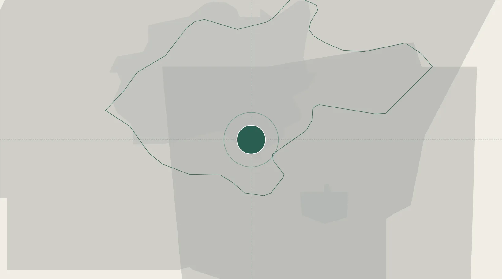
Location
Nearby Logistics Neighbours
Airports
- 1Jomo Kenyatta International Airport6 km
- 2Moi Air Base7 km
- 3Nairobi Wilson Airport7 km
- 4Lanet Military Airstrip141 km
- 5Nanyuki Airport143 km
Trade Zones
DatabookThe Record of Consolidated Knowledge
Kenya beyond logistics?