Medium airport · Kenya
Nanyuki AirportHKNL
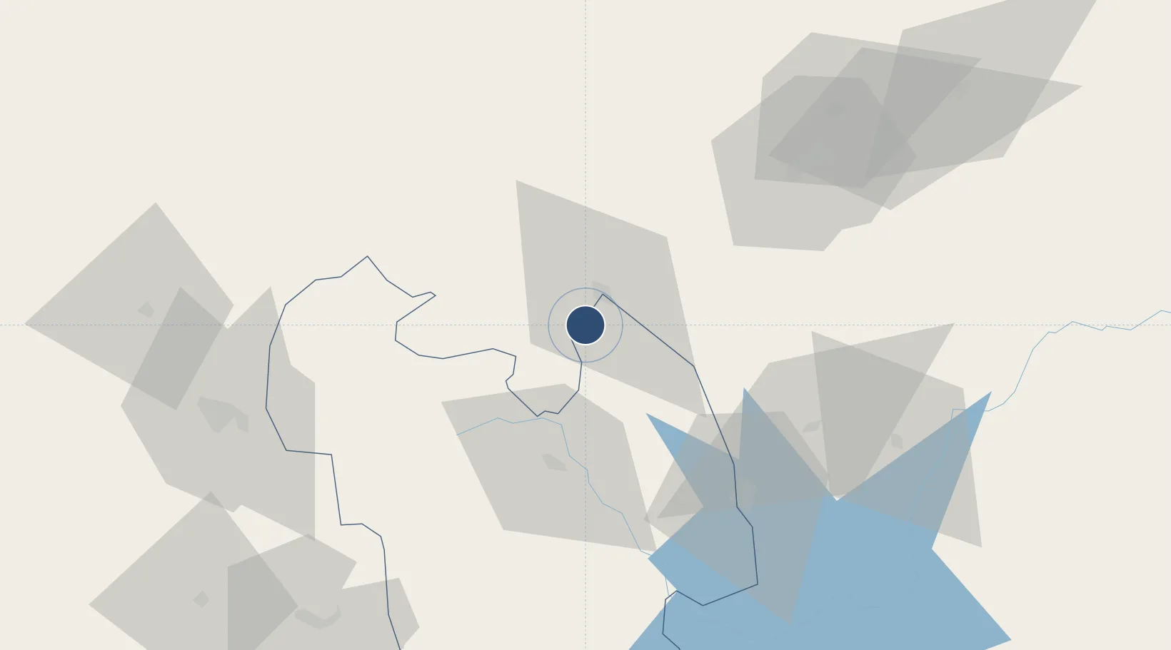
-0.0624°, 37.0410°
3,900 ft
Longest runway
1
Runways
6,250 ft
Elevation
Runway & Layout

Navaids
NYK NDB Nanyuki 306 kHz
Runways · 1
| Runway | Dimensions | Surface | True heading | Lit |
|---|---|---|---|---|
| 03/21 | 3,900 × —ft | Asphalt | — | — |
Airport Specifications
IATA code
NYK
ICAO code
HKNL
Airport class
Medium airport
Scheduled service
Yes
Runway surface
Asphalt
Served city
Nanyuki
Location
Nearby Logistics Neighbours
Airports
- 1Laikipia Air Base11 km
- 2Lanet Military Airstrip102 km
- 3Mulika Lodge Airport131 km
- 4Moi Air Base137 km
- 5Jomo Kenyatta International Airport140 km
Trade Zones
DatabookThe Record of Consolidated Knowledge
Kenya beyond logistics?