Small airport · Kenya

Mulika Lodge AirportHKMK
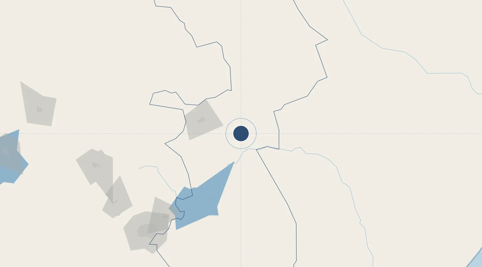
0.1651°, 38.1951°
3,281 ft
Longest runway
1
Runways
2,230 ft
Elevation

Runway & Layout

Mulika Lodge Airport runway & taxiway layout
Runway & taxiway layout — OpenStreetMap (ODbL) / OurAirports

Runways · 1

RunwayDimensions SurfaceTrue headingLit
01/19 3,281 × —ft Asphalt partial
OurAirports

Airport Specifications

IATA code
JJM
OurAirports
ICAO code
HKMK
OurAirports
Airport class
Small airport
OurAirports
Scheduled service
Yes
OurAirports
Runway surface
Asphalt partial
OurAirports
Served city
Meru-Kinna
OurAirports

Location

Location of HKMK
Natural Earth 10m (public domain) · Eastern · HKMK · 0.17, 38.20GoogleOSMYandex

Nearby Logistics Neighbours

Airports
  1. 1Laikipia Air Base131 km
  2. 2Nanyuki Airport131 km
  3. 3Jomo Kenyatta International Airport217 km
  4. 4Moi Air Base218 km
  5. 5Nairobi Wilson Airport226 km
Nearest neighbours — logibook spatial index (haversine) over the source coordinates
Cities
  1. 1Mwingi123 km
  2. 2Naivasha219 km
  3. 3Nairobi222 km
  4. 4Moshi402 km
  5. 5Bungoma406 km
Nearest neighbours — logibook spatial index (haversine) over the source coordinates
Ports
  1. 1Lamu404 km
  2. 2Malindi433 km
  3. 3Kilifi461 km
  4. 4Kismaayo488 km
  5. 5Mombasa498 km
Nearest neighbours — logibook spatial index (haversine) over the source coordinates
Trade Zones
  1. 1Northlands Special Economic Zone203 km
  2. 2Tatu City Special Economic Zone203 km
  3. 3Naivasha Industrial Park217 km
  4. 4Compact Free Trade Zone222 km
  5. 5Ahti River Export Processing Zone227 km
Nearest neighbours — logibook spatial index (haversine) over the source coordinates
DatabookThe Record of Consolidated Knowledge
Kenya beyond logistics?
Browse databook

All Sources

AirportsOurAirports
Public domain
Portsthe NGA World Port Index
Public domain (US gov)
LocationsUN/LOCODE
UN/LOCODE — free
Trade Zonesthe World Bank SEZ database
CC BY 4.0
Trade ZonesOpen Zone Map
CC BY
InfrastructureOpenStreetMap
ODbL 1.0
← Kenya airports