Charter City · Kenya

Tatu City Special Economic Zone Under Development
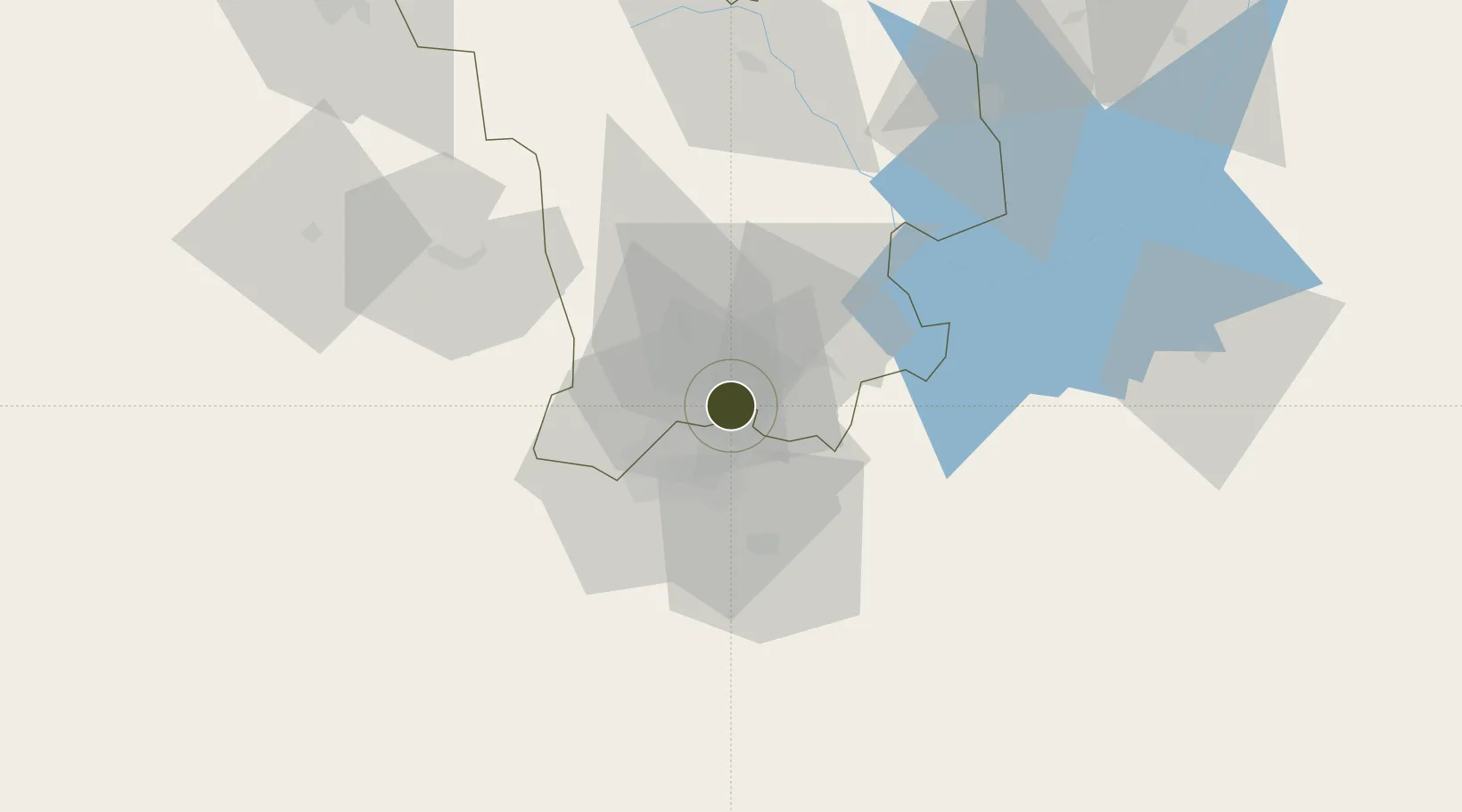
-1.1416°, 36.9145°
2,023 ha
Zone area
425.6 km
Nearest port
16.2 km
Nearest airport

Gateway access

Nearest neighbours — logibook spatial index (haversine) over the source coordinates

Zone profile

Zone type
Charter City
Open Zone Map
Region
Central
Open Zone Map
Status
Under Development
Open Zone Map
Management
Public-Private Partnership
Open Zone Map
Operator
Rendeavour, SEZ Authority
Open Zone Map
Legal framework
Special Economic Zones Act No. 16 of 2015
Open Zone Map

Location

Location of ozm-2654
Natural Earth 10m (public domain) · Central · ozm-2654 · -1.14, 36.91GoogleOSMYandex

Nearby Logistics Neighbours

Ports
  1. 1Malindi426 km
  2. 2Kilifi429 km
  3. 3Mombasa446 km
  4. 4Lamu460 km
  5. 5Tanga502 km
Nearest neighbours — logibook spatial index (haversine) over the source coordinates
Airports
  1. 1Moi Air Base16 km
  2. 2Jomo Kenyatta International Airport20 km
  3. 3Nairobi Wilson Airport23 km
  4. 4Nanyuki Airport121 km
  5. 5Lanet Military Airstrip126 km
Nearest neighbours — logibook spatial index (haversine) over the source coordinates
Cities
  1. 1Nairobi22 km
  2. 2Naivasha71 km
  3. 3Mwingi130 km
  4. 4Moshi250 km
  5. 5Siaya322 km
Nearest neighbours — logibook spatial index (haversine) over the source coordinates
Trade Zones
  1. 1Northlands Special Economic Zone6 km
  2. 2Compact Free Trade Zone22 km
  3. 3Ahti River Export Processing Zone37 km
  4. 4Oserian Two Lakes Industrial Park70 km
  5. 5Konza Technopolis Special Economic Zone72 km
Nearest neighbours — logibook spatial index (haversine) over the source coordinates
DatabookThe Record of Consolidated Knowledge
Kenya beyond logistics?
Browse databook

All Sources

Trade ZonesOpen Zone Map
CC BY
Portsthe NGA World Port Index
Public domain (US gov)
AirportsOurAirports
Public domain
LocationsUN/LOCODE
UN/LOCODE — free
← Kenya trade zones