Large airport · Egypt

Berenice International Airport / Banas Cape Air BaseEES
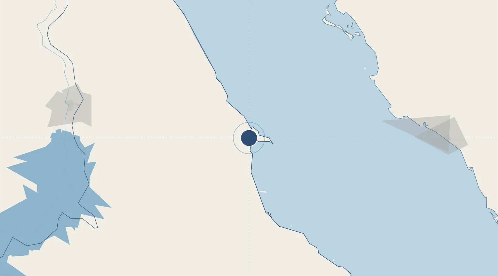
23.9804°, 35.4603°
9,930 ft
Longest runway
3
Runways
108 ft
Elevation

Runway & Layout

Berenice International Airport / Banas Cape Air Base runway & taxiway layout
Runway & taxiway layout — OpenStreetMap (ODbL) / OurAirports

Runways · 3

RunwayDimensions SurfaceTrue headingLit
13L/31R 9,930 × 98ft Asphalt 132°
13R/31L 9,840 × 148ft Asphalt 132°
15/33 9,530 × 131ft Asphalt 151°
OurAirports

Airport Specifications

IATA code
EES
OurAirports
ICAO code
HEBR
OurAirports
Airport class
Large airport
OurAirports
Scheduled service
No
OurAirports
Runway surface
Asphalt
OurAirports
Served city
Berenice Troglodytica
OurAirports

Location

Location of EES
Natural Earth 10m (public domain) · Al Bahr al Ahmar · EES · 23.98, 35.46GoogleOSMYandex

Nearby Logistics Neighbours

Airports
  1. 1Marsa Alam International Airport196 km
  2. 2Red Sea International Airport246 km
  3. 3Prince Abdulmohsen Bin Abdulaziz International Airport265 km
  4. 4Al Wajh Domestic Airport267 km
  5. 5Aswan International Airport268 km
Nearest neighbours — logibook spatial index (haversine) over the source coordinates
Cities
  1. 1Abu Ghosoun59 km
  2. 2Port Ghalib192 km
  3. 3Umm Lajj216 km
  4. 4Yanbu commercial city263 km
  5. 5Al Qusayr264 km
Nearest neighbours — logibook spatial index (haversine) over the source coordinates
Ports
  1. 1Yanbu263 km
  2. 2Al Qusayr264 km
  3. 3Hamrawein283 km
  4. 4Safaja342 km
  5. 5Rabigh385 km
Nearest neighbours — logibook spatial index (haversine) over the source coordinates
Trade Zones
  1. 1Yanbu Modon Oasis264 km
  2. 2Yanbu Industrial City284 km
  3. 3Esna Center Investment Zone330 km
  4. 4Safaga Free Zone343 km
  5. 5Qift (Keft) Free Zone348 km
Nearest neighbours — logibook spatial index (haversine) over the source coordinates
DatabookThe Record of Consolidated Knowledge
Egypt beyond logistics?
Browse databook

All Sources

AirportsOurAirports
Public domain
Portsthe NGA World Port Index
Public domain (US gov)
LocationsUN/LOCODE
UN/LOCODE — free
Trade Zonesthe World Bank SEZ database
CC BY 4.0
Trade ZonesOpen Zone Map
CC BY
InfrastructureOpenStreetMap
ODbL 1.0
← Egypt airports