Medium airport · Angola

Albano Machado AirportFNHU
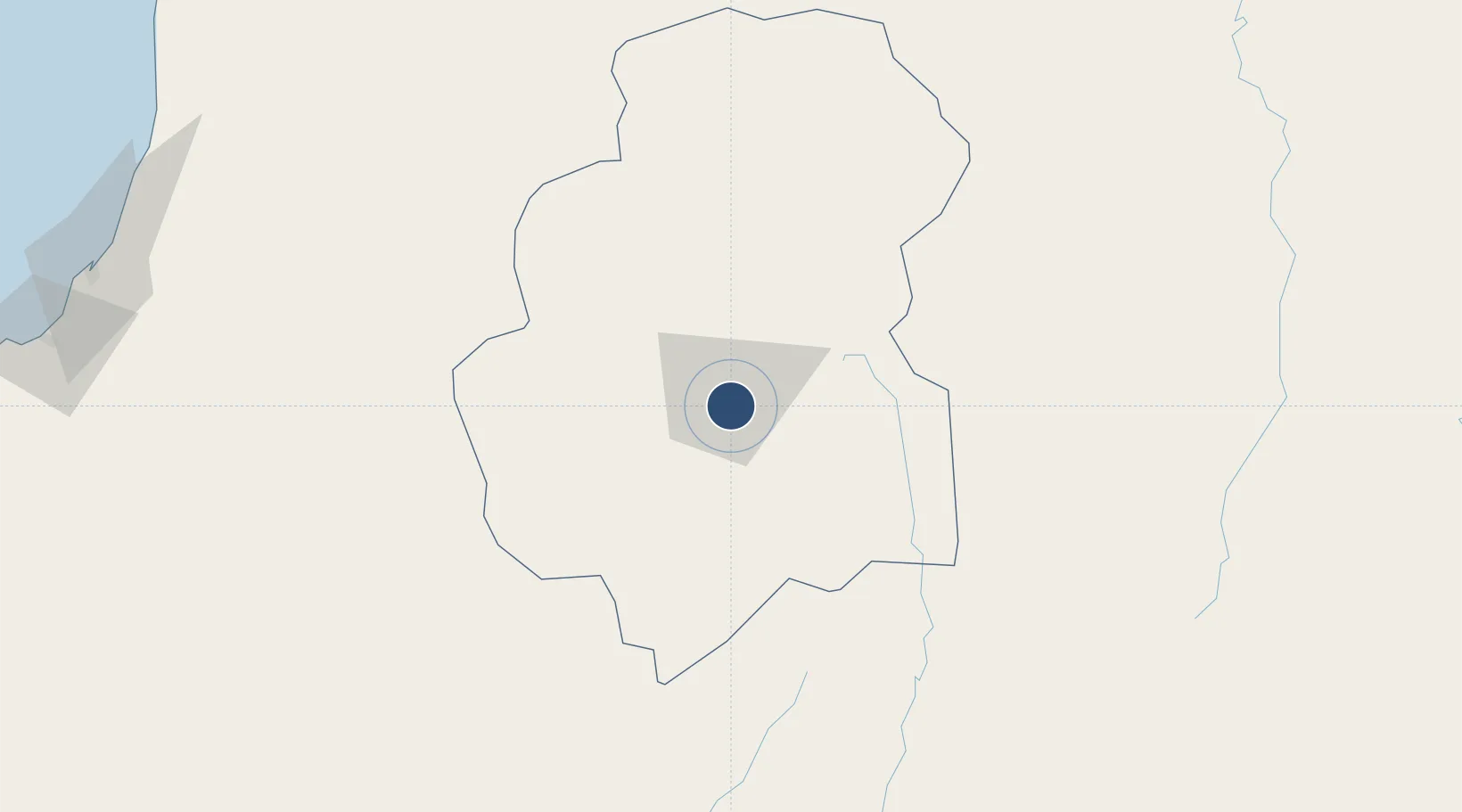
-12.8089°, 15.7605°
8,727 ft
Longest runway
2
Runways
5,587 ft
Elevation

Runway & Layout

Albano Machado Airport runway & taxiway layout
Runway & taxiway layout — OpenStreetMap (ODbL) / OurAirports

Radio Frequencies

AFIS
118.3 MHz
OurAirports

Navaids

HU NDB Huambo 285 kHz
VHU VOR-DME Huambo 113.30 MHz
OurAirports

Runways · 2

RunwayDimensions SurfaceTrue headingLit
11/29 8,727 × 148ft Asphalt 100°
01/19 3,281 × —ft Unknown
OurAirports

Airport Specifications

IATA code
NOV
OurAirports
ICAO code
FNHU
OurAirports
Airport class
Medium airport
OurAirports
Scheduled service
Yes
OurAirports
Runway surface
Asphalt
OurAirports
Served city
Huambo
OurAirports

Location

Location of FNHU
Natural Earth 10m (public domain) · Huambo · FNHU · -12.81, 15.76GoogleOSMYandex

Nearby Logistics Neighbours

Airports
  1. 1Kuito Airport136 km
  2. 2Catumbela Airport249 km
  3. 3Benguela Airport257 km
  4. 4Sumbe Airport277 km
  5. 5Menongue Airport295 km
Nearest neighbours — logibook spatial index (haversine) over the source coordinates
Cities
  1. 1Lobito245 km
  2. 2Farta Bay279 km
  3. 3Cuio302 km
  4. 4River Sao Nicolau404 km
  5. 5Baba442 km
Nearest neighbours — logibook spatial index (haversine) over the source coordinates
Ports
  1. 1Lobito244 km
  2. 2Sumbe276 km
  3. 3Porto Amboim318 km
  4. 4Namibe472 km
  5. 5Luanda523 km
Nearest neighbours — logibook spatial index (haversine) over the source coordinates
Trade Zones
  1. 1Catumbela Industrial Development Pole245 km
  2. 2Viana Industrial Development Pole495 km
  3. 3Luanda-Bengo Special Economic Zone502 km
  4. 4Fútila Industrial Development Pole908 km
  5. 5Brazzaville Special Economic Zone940 km
Nearest neighbours — logibook spatial index (haversine) over the source coordinates
DatabookThe Record of Consolidated Knowledge
Angola beyond logistics?
Browse databook

All Sources

AirportsOurAirports
Public domain
Portsthe NGA World Port Index
Public domain (US gov)
LocationsUN/LOCODE
UN/LOCODE — free
Trade Zonesthe World Bank SEZ database
CC BY 4.0
Trade ZonesOpen Zone Map
CC BY
InfrastructureOpenStreetMap
ODbL 1.0
← Angola airports