Medium airport · Angola
Kuito AirportFNKU
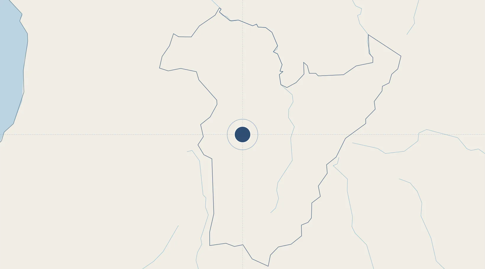
-12.4046°, 16.9474°
8,202 ft
Longest runway
1
Runways
5,618 ft
Elevation
Runway & Layout

Radio Frequencies
AFIS
118.7 MHz
Navaids
KU NDB Kuito 320 kHz
Runways · 1
| Runway | Dimensions | Surface | True heading | Lit |
|---|---|---|---|---|
| 08/26 | 8,202 × 98ft | Asphalt | 070° | ✓ |
Airport Specifications
IATA code
SVP
ICAO code
FNKU
Airport class
Medium airport
Scheduled service
No
Runway surface
Asphalt
Served city
Kuito
Location
Nearby Logistics Neighbours
Airports
- 1Albano Machado Airport136 km
- 2Menongue Airport264 km
- 3Malanje Airport328 km
- 4Luena Airport329 km
- 5Sumbe Airport364 km
Cities
- 1Lobito369 km
- 2Farta Bay408 km
- 3Cuio435 km
- 4River Sao Nicolau540 km
- 5Luanda562 km
Ports
- 1Sumbe364 km
- 2Lobito367 km
- 3Porto Amboim395 km
- 4Luanda569 km
- 5Namibe604 km
Trade Zones
DatabookThe Record of Consolidated Knowledge
Angola beyond logistics?