Transport Functions
Port
Hub Profile
Place type
Populated place
Time zone
Africa/Luanda
Elevation
6 m
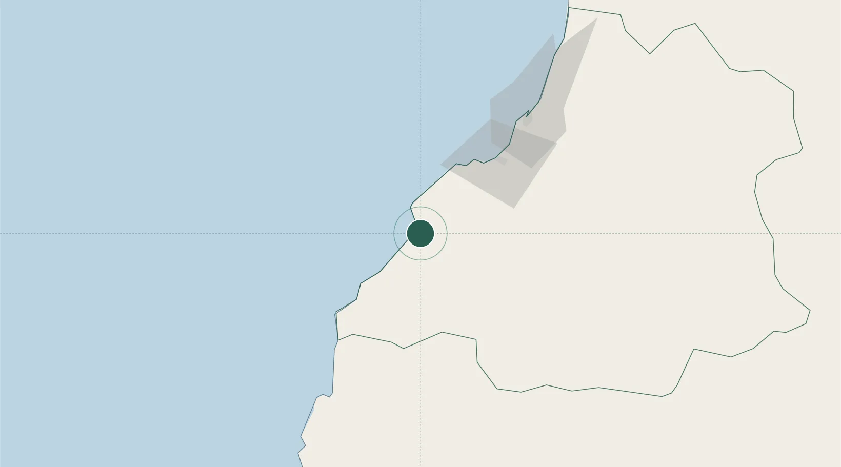
Location
Nearby Logistics Neighbours
Cities
- 1Farta Bay47 km
- 2Lobito94 km
- 3River Sao Nicolau157 km
- 4Baba221 km
- 5Porto Saco (Portosalazar)256 km
Ports
- 1Lobito96 km
- 2Sumbe219 km
- 3Namibe262 km
- 4Porto Amboim264 km
- 5Luanda466 km
Airports
- 1Benguela Airport62 km
- 2Catumbela Airport78 km
- 3Sumbe Airport223 km
- 4Lubango Mukanka International Airport225 km
- 5Porto Amboim Airport266 km
Trade Zones
DatabookThe Record of Consolidated Knowledge
Angola beyond logistics?