Medium airport · Angola

Menongue AirportFNME
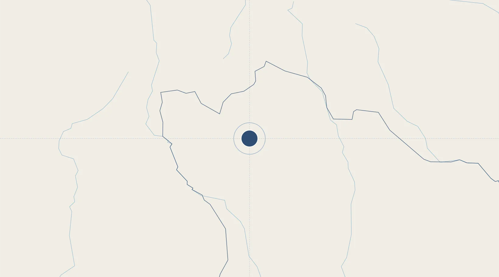
-14.6576°, 17.7198°
11,483 ft
Longest runway
1
Runways
4,469 ft
Elevation

Runway & Layout

Menongue Airport runway & taxiway layout
Runway & taxiway layout — OpenStreetMap (ODbL) / OurAirports

Radio Frequencies

AFIS
118.9 MHz
OurAirports

Navaids

KK NDB Menongue 293 kHz
ME NDB Menongue 343 kHz
OurAirports

Runways · 1

RunwayDimensions SurfaceTrue headingLit
13/31 11,483 × 147ft Asphalt 120°
OurAirports

Airport Specifications

IATA code
SPP
OurAirports
ICAO code
FNME
OurAirports
Airport class
Medium airport
OurAirports
Scheduled service
Yes
OurAirports
Runway surface
Asphalt
OurAirports
Served city
Menongue
OurAirports

Location

Location of FNME
Natural Earth 10m (public domain) · Cuando Cubango · FNME · -14.66, 17.72GoogleOSMYandex

Nearby Logistics Neighbours

Airports
  1. 1Kuito Airport264 km
  2. 2Albano Machado Airport295 km
  3. 3Ngjiva Pereira Airport343 km
  4. 4Xangongo Airport376 km
  5. 5Luena Airport399 km
Nearest neighbours — logibook spatial index (haversine) over the source coordinates
Cities
  1. 1Oshikango363 km
  2. 2Ruacana474 km
  3. 3Lobito519 km
  4. 4Farta Bay539 km
  5. 5Cuio544 km
Nearest neighbours — logibook spatial index (haversine) over the source coordinates
Ports
  1. 1Lobito518 km
  2. 2Sumbe570 km
  3. 3Namibe601 km
  4. 4Porto Amboim613 km
  5. 5Luanda813 km
Nearest neighbours — logibook spatial index (haversine) over the source coordinates
Trade Zones
  1. 1Catumbela Industrial Development Pole516 km
  2. 2Viana Industrial Development Pole784 km
  3. 3Luanda-Bengo Special Economic Zone791 km
  4. 4Lumwana Multi-Facility Economic Zone862 km
  5. 5Livingstone Tourism Multi-Facility Economic Zone938 km
Nearest neighbours — logibook spatial index (haversine) over the source coordinates
DatabookThe Record of Consolidated Knowledge
Angola beyond logistics?
Browse databook

All Sources

AirportsOurAirports
Public domain
Portsthe NGA World Port Index
Public domain (US gov)
LocationsUN/LOCODE
UN/LOCODE — free
Trade Zonesthe World Bank SEZ database
CC BY 4.0
Trade ZonesOpen Zone Map
CC BY
InfrastructureOpenStreetMap
ODbL 1.0
← Angola airports