Seaport · Angola
LuandaAOLAD
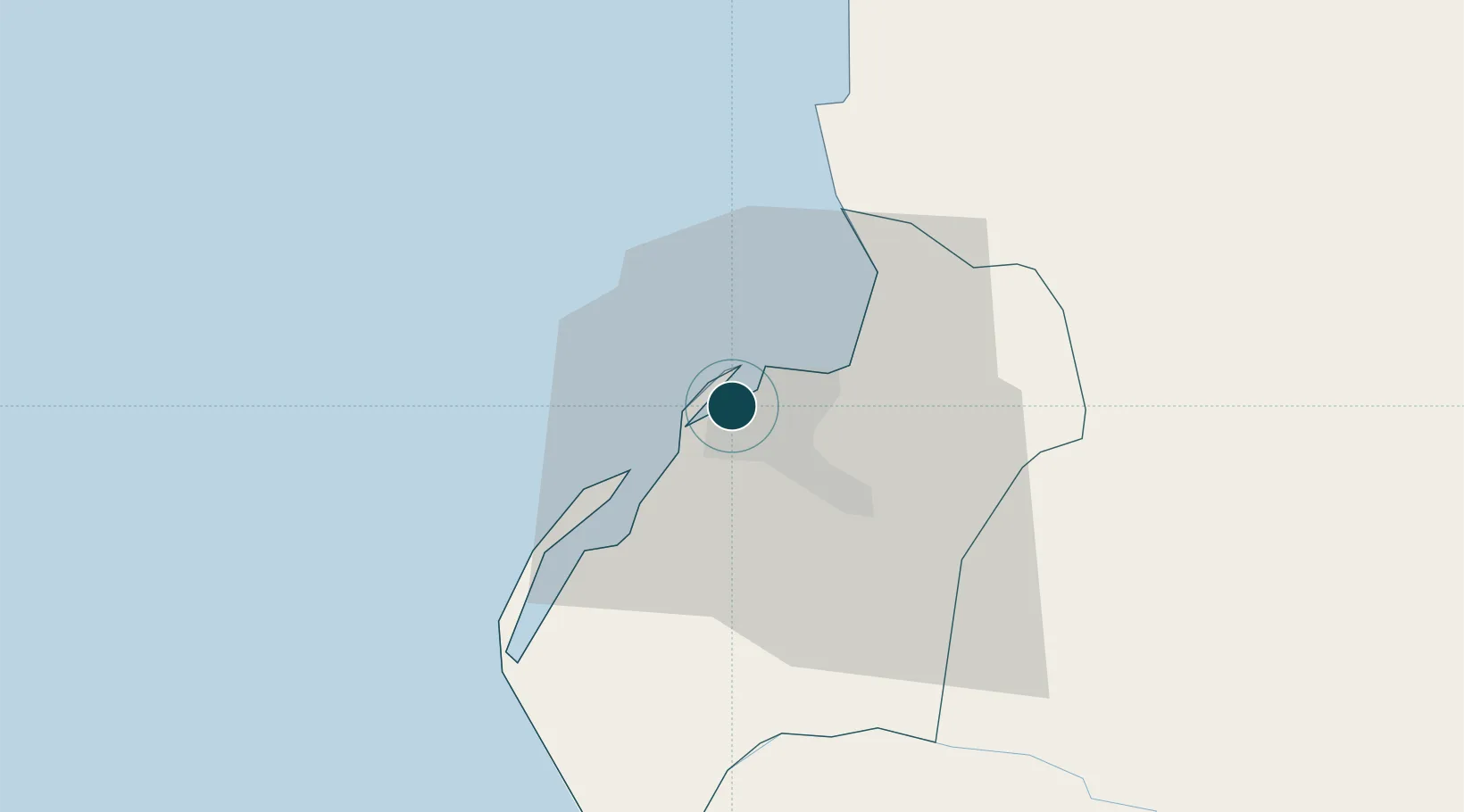
-8.8000°, 13.2500°
27.5 m
Channel depth
2
Container terminals
133.2
Port liner connectivity
Channel & Berth Profile
Pilotage, Tugs & Services
Pilotage compulsoryYES
Pilotage availableYES
Pilotage advisableYES
Tug assistanceYES
Salvage tugsNO
Shore powerYES
Potable waterYES
Diesel bunkersYES
MedicalYES
Garbage disposalYES
Facilities & Capabilities
Container—
Ro-Ro—
Liquid bulk—
Dry bulk—
Oil terminal—
Break bulk—
Dry dockNO
RepairsNO
BunkeringYES
Rail linkYES
Dangerous cargo—
ISPS security—
Harbour Specifications
Harbour size
Small
Harbour type
Coastal (Natural)
Shelter
Excellent
Water body
South Atlantic Ocean
Tidal range
1.4 m
Pilotage
Yes
Liner Connectivity
133.2
PLSCI
Port Liner Shipping Connectivity Index for Luanda, as published by UNCTAD for the latest available quarter. Higher values indicate stronger scheduled liner-shipping integration.
Shown relative to the highest per-port PLSCI in the dataset (1,657.9).
Location
Container Terminals · 2
BOAVISTA TERMINAL
BOA SOCIEDADE GESTORA DE TERMINALS S.A. (SOGESTER)
TERMINAL MULTIUSO
MPT DP WORLD MPL SERVICOS, S.A.
Nearby Logistics Neighbours
Ports
- 1Porto Do Ambriz109 km
- 2Greater Plutonio Terminal166 km
- 3Dalia Terminal205 km
- 4Girassol Terminal215 km
- 5Porto Amboim222 km
Cities
- 1Capulo91 km
- 2Greater Plutonio165 km
- 3N'Zeto (Ambrizete)176 km
- 4Gimboa185 km
- 5Dalia204 km
Airports
Trade Zones
DatabookThe Record of Consolidated Knowledge
Angola beyond logistics?