Channel & Berth Profile
Pilotage, Tugs & Services
Pilotage compulsoryNO
Shore powerYES
Potable waterNO
Diesel bunkersNO
MedicalYES
Facilities & Capabilities
Container—
Ro-Ro—
Liquid bulk—
Dry bulk—
Oil terminal—
Break bulk—
Dry dock—
RepairsNO
BunkeringNO
Rail link—
Dangerous cargo—
ISPS security—
Harbour Specifications
Harbour size
Very Small
Harbour type
Open Roadstead
Shelter
Poor
Water body
South Atlantic Ocean
Tidal range
1.3 m
Pilotage
No
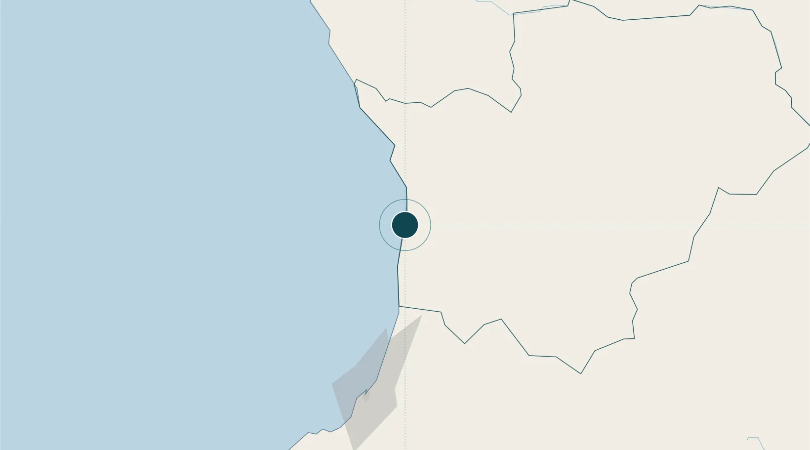
Location
Nearby Logistics Neighbours
Ports
- 1Porto Amboim53 km
- 2Lobito129 km
- 3Luanda274 km
- 4Porto Do Ambriz383 km
- 5Greater Plutonio Terminal420 km
Airports
- 1Sumbe Airport4 km
- 2Porto Amboim Airport54 km
- 3Catumbela Airport147 km
- 4Benguela Airport164 km
- 5Dr. Antonio Agostinho Neto International Airport242 km
Trade Zones
DatabookThe Record of Consolidated Knowledge
Angola beyond logistics?