Medium airport · Angola

Catumbela AirportFNCT
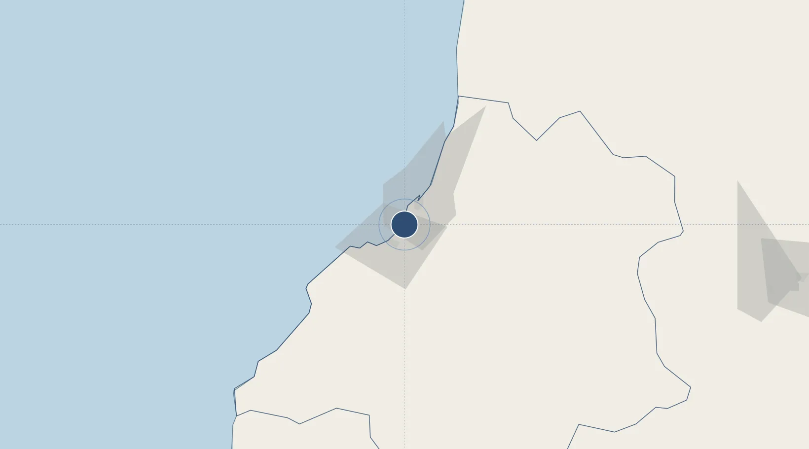
-12.4792°, 13.4869°
12,139 ft
Longest runway
1
Runways
23 ft
Elevation

Runway & Layout

Catumbela Airport runway & taxiway layout
Runway & taxiway layout — OpenStreetMap (ODbL) / OurAirports

Runways · 1

RunwayDimensions SurfaceTrue headingLit
02/20 12,139 × 145ft Asphalt
OurAirports

Airport Specifications

IATA code
CBT
OurAirports
ICAO code
FNCT
OurAirports
Airport class
Medium airport
OurAirports
Scheduled service
Yes
OurAirports
Runway surface
Asphalt
OurAirports
Served city
Catumbela
OurAirports

Location

Location of FNCT
Natural Earth 10m (public domain) · Benguela · FNCT · -12.48, 13.49GoogleOSMYandex

Nearby Logistics Neighbours

Airports
  1. 1Benguela Airport17 km
  2. 2Sumbe Airport151 km
  3. 3Porto Amboim Airport198 km
  4. 4Albano Machado Airport249 km
  5. 5Lubango Mukanka International Airport272 km
Nearest neighbours — logibook spatial index (haversine) over the source coordinates
Cities
  1. 1Lobito17 km
  2. 2Farta Bay35 km
  3. 3Cuio78 km
  4. 4River Sao Nicolau233 km
  5. 5Baba295 km
Nearest neighbours — logibook spatial index (haversine) over the source coordinates
Ports
  1. 1Lobito18 km
  2. 2Sumbe147 km
  3. 3Porto Amboim196 km
  4. 4Namibe335 km
  5. 5Luanda410 km
Nearest neighbours — logibook spatial index (haversine) over the source coordinates
Trade Zones
  1. 1Catumbela Industrial Development Pole11 km
  2. 2Viana Industrial Development Pole390 km
  3. 3Luanda-Bengo Special Economic Zone394 km
  4. 4Fútila Industrial Development Pole796 km
  5. 5Pointe-Noire Special Economic Zone874 km
Nearest neighbours — logibook spatial index (haversine) over the source coordinates
DatabookThe Record of Consolidated Knowledge
Angola beyond logistics?
Browse databook

All Sources

AirportsOurAirports
Public domain
Portsthe NGA World Port Index
Public domain (US gov)
LocationsUN/LOCODE
UN/LOCODE — free
Trade Zonesthe World Bank SEZ database
CC BY 4.0
Trade ZonesOpen Zone Map
CC BY
InfrastructureOpenStreetMap
ODbL 1.0
← Angola airports