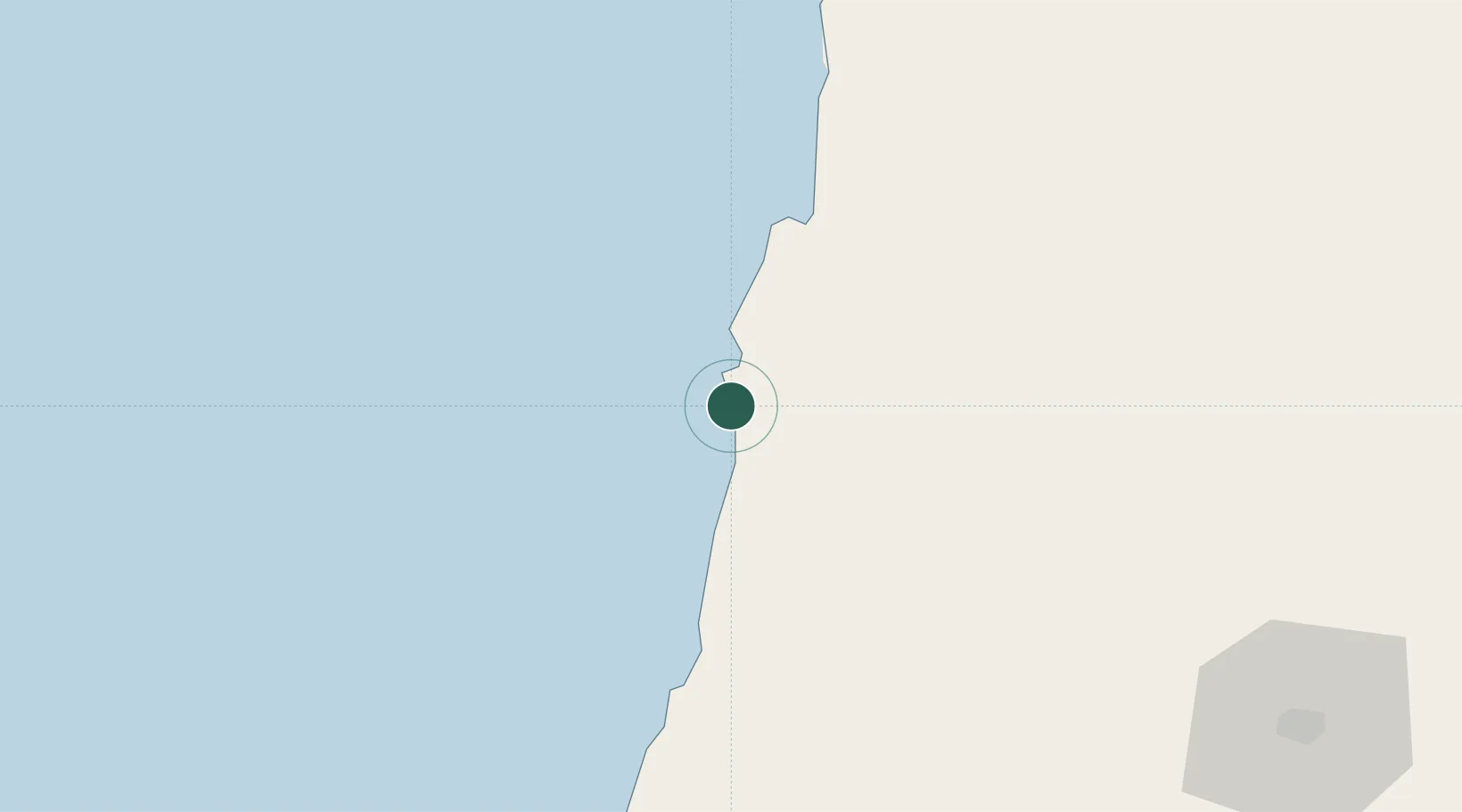
UN/LOCODE hub · Angola
AORSN

River Sao Nicolau

-14.2500°, 12.3333°
1
Transport functions

Transport Functions

Port
UN/LOCODE

Location

Location of AORSN
Natural Earth 10m (public domain) · Namibe · AORSN · -14.25, 12.33GoogleOSMYandex

Nearby Logistics Neighbours

Cities
  1. 1Baba66 km
  2. 2Porto Saco (Portosalazar)101 km
  3. 3Cuio157 km
  4. 4Farta Bay204 km
  5. 5Lobito250 km
Nearest neighbours — logibook spatial index (haversine) over the source coordinates
Ports
  1. 1Namibe108 km
  2. 2Lobito252 km
  3. 3Sumbe376 km
  4. 4Porto Amboim420 km
  5. 5Luanda614 km
Nearest neighbours — logibook spatial index (haversine) over the source coordinates
Airports
  1. 1Welwitschia Mirabilis International Airport114 km
  2. 2Lubango Mukanka International Airport153 km
  3. 3Benguela Airport216 km
  4. 4Catumbela Airport233 km
  5. 5Sumbe Airport380 km
Nearest neighbours — logibook spatial index (haversine) over the source coordinates
Trade Zones
  1. 1Catumbela Industrial Development Pole244 km
  2. 2Viana Industrial Development Pole599 km
  3. 3Luanda-Bengo Special Economic Zone602 km
  4. 4Fútila Industrial Development Pole981 km
  5. 5Walvis Bay (Nara Namib) Export Processing Zone994 km
Nearest neighbours — logibook spatial index (haversine) over the source coordinates
DatabookThe Record of Consolidated Knowledge
Angola beyond logistics?
Browse databook

All Sources

LocationsUN/LOCODE
UN/LOCODE — free
Portsthe NGA World Port Index
Public domain (US gov)
AirportsOurAirports
Public domain
Trade Zonesthe World Bank SEZ database
CC BY 4.0
Trade ZonesOpen Zone Map
CC BY
← Angola locations