Seaport · Angola
NamibeAOMSZ
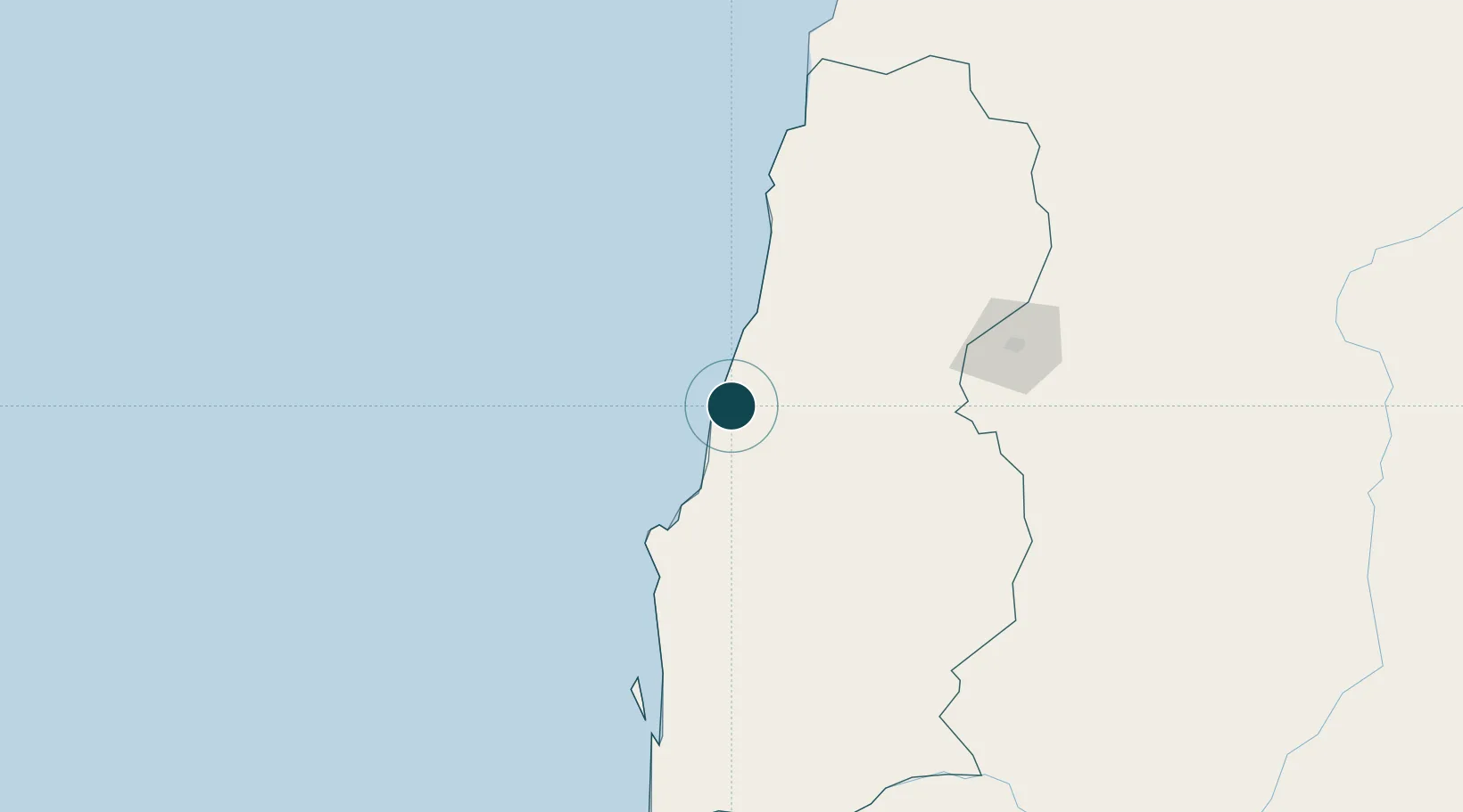
-15.2000°, 12.1500°
10.5 m
Channel depth
1
Container terminals
31.9
Port liner connectivity
Channel & Berth Profile
Pilotage, Tugs & Services
Pilotage compulsoryYES
Pilotage availableYES
Pilotage advisableYES
Tug assistanceYES
Salvage tugsYES
Shore powerYES
Potable waterYES
Diesel bunkersYES
MedicalYES
Garbage disposalNO
Facilities & Capabilities
Container—
Ro-Ro—
Liquid bulk—
Dry bulk—
Oil terminal—
Break bulk—
Dry dock—
RepairsNO
BunkeringYES
Rail linkYES
Dangerous cargo—
ISPS security—
Harbour Specifications
Harbour size
Small
Harbour type
Open Roadstead
Shelter
Fair
Water body
South Atlantic Ocean
Tidal range
1.7 m
Overhead limit
Yes
Pilotage
Yes
Liner Connectivity
31.9
PLSCI
Port Liner Shipping Connectivity Index for Namibe, as published by UNCTAD for the latest available quarter. Higher values indicate stronger scheduled liner-shipping integration.
Shown relative to the highest per-port PLSCI in the dataset (1,657.9).
Location
Container Terminals · 1
NAMIBE TERMINAL
NAMIBE SOCIEDADE GESTORA DE TERMINALS S.A. (SOGESTER)
Nearby Logistics Neighbours
Ports
- 1Lobito354 km
- 2Sumbe481 km
- 3Porto Amboim526 km
- 4Luanda722 km
- 5Greater Plutonio Terminal819 km
Cities
- 1Porto Saco (Portosalazar)8 km
- 2Baba42 km
- 3River Sao Nicolau108 km
- 4Baía dos Tigres162 km
- 5Cuio262 km
Airports
- 1Welwitschia Mirabilis International Airport7 km
- 2Lubango Mukanka International Airport156 km
- 3Benguela Airport318 km
- 4Catumbela Airport335 km
- 5Xangongo Airport347 km
Trade Zones
DatabookThe Record of Consolidated Knowledge
Angola beyond logistics?