Medium airport · Angola
Sumbe AirportFNSU
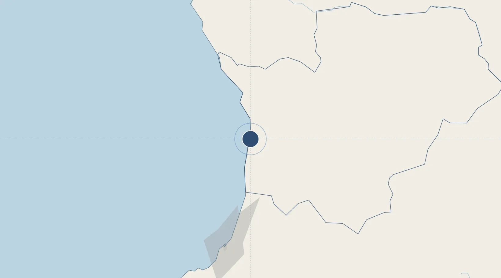
-11.1679°, 13.8475°
3,115 ft
Longest runway
1
Runways
36 ft
Elevation
Runway & Layout

Radio Frequencies
AFIS
118.8 MHz
Runways · 1
| Runway | Dimensions | Surface | True heading | Lit |
|---|---|---|---|---|
| 05/23 | 3,115 × 60ft | Asphalt | 045° | — |
Airport Specifications
IATA code
NDD
ICAO code
FNSU
Airport class
Medium airport
Scheduled service
No
Runway surface
Asphalt
Served city
Sumbe
Location
Nearby Logistics Neighbours
Airports
Ports
- 1Sumbe4 km
- 2Porto Amboim50 km
- 3Lobito133 km
- 4Luanda271 km
- 5Porto Do Ambriz380 km
Trade Zones
DatabookThe Record of Consolidated Knowledge
Angola beyond logistics?