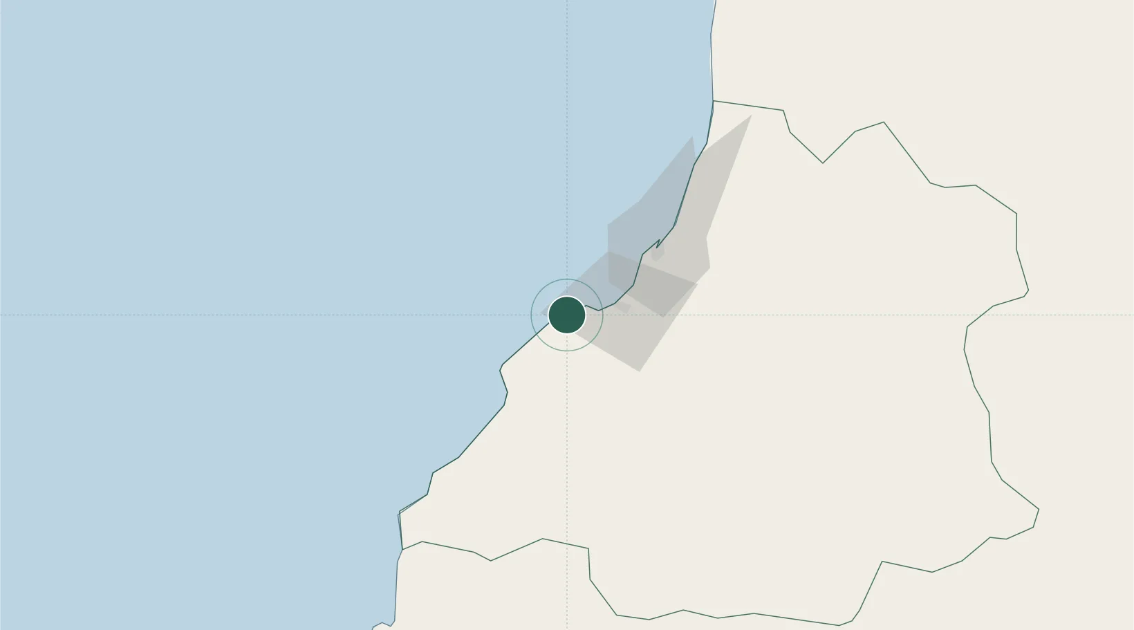
UN/LOCODE hub · Angola
AOFBY

Farta Bay

-12.6167°, 13.2000°
1
Transport functions

Transport Functions

Port
UN/LOCODE

Location

Location of AOFBY
Natural Earth 10m (public domain) · Benguela · AOFBY · -12.62, 13.20GoogleOSMYandex

Nearby Logistics Neighbours

Cities
  1. 1Cuio47 km
  2. 2Lobito49 km
  3. 3River Sao Nicolau204 km
  4. 4Baba268 km
  5. 5Porto Saco (Portosalazar)303 km
Nearest neighbours — logibook spatial index (haversine) over the source coordinates
Ports
  1. 1Lobito51 km
  2. 2Sumbe172 km
  3. 3Porto Amboim218 km
  4. 4Namibe309 km
  5. 5Luanda424 km
Nearest neighbours — logibook spatial index (haversine) over the source coordinates
Airports
  1. 1Benguela Airport22 km
  2. 2Catumbela Airport35 km
  3. 3Sumbe Airport176 km
  4. 4Porto Amboim Airport220 km
  5. 5Lubango Mukanka International Airport260 km
Nearest neighbours — logibook spatial index (haversine) over the source coordinates
Trade Zones
  1. 1Catumbela Industrial Development Pole44 km
  2. 2Viana Industrial Development Pole406 km
  3. 3Luanda-Bengo Special Economic Zone410 km
  4. 4Fútila Industrial Development Pole807 km
  5. 5Pointe-Noire Special Economic Zone883 km
Nearest neighbours — logibook spatial index (haversine) over the source coordinates
DatabookThe Record of Consolidated Knowledge
Angola beyond logistics?
Browse databook

All Sources

LocationsUN/LOCODE
UN/LOCODE — free
Portsthe NGA World Port Index
Public domain (US gov)
AirportsOurAirports
Public domain
Trade Zonesthe World Bank SEZ database
CC BY 4.0
Trade ZonesOpen Zone Map
CC BY
← Angola locations