Medium airport · Angola

Benguela AirportFNBG
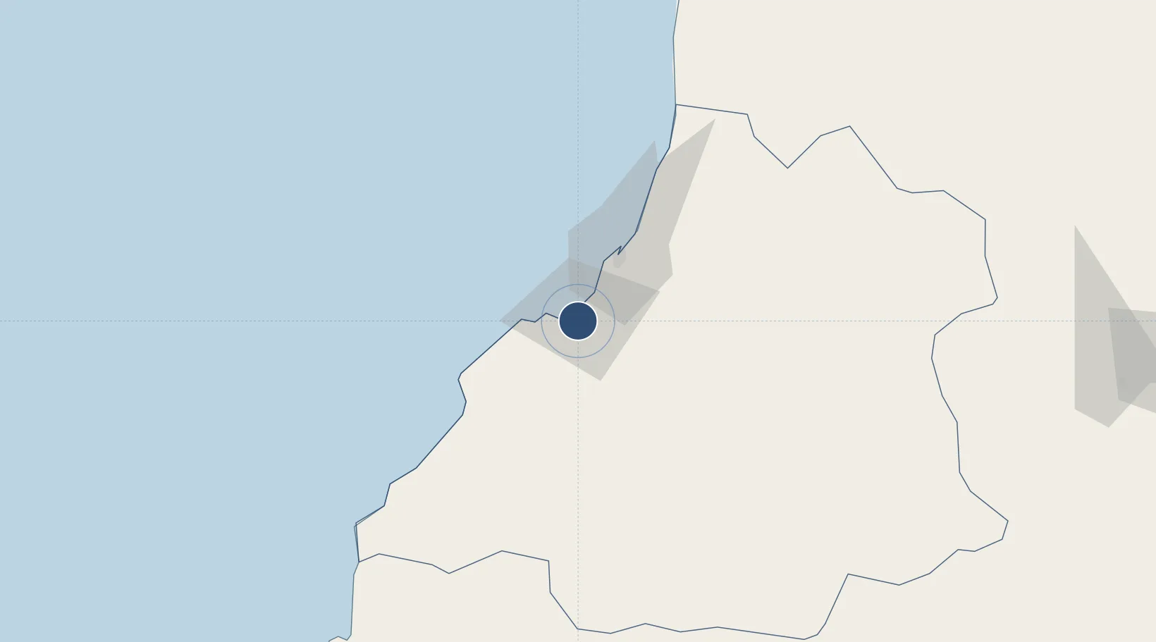
-12.6090°, 13.4037°
5,315 ft
Longest runway
1
Runways
118 ft
Elevation

Runway & Layout

Benguela Airport runway & taxiway layout
Runway & taxiway layout — OpenStreetMap (ODbL) / OurAirports

Radio Frequencies

AFIS
118.7 MHz
OurAirports

Navaids

BG NDB Benguela 372 kHz
OurAirports

Runways · 1

RunwayDimensions SurfaceTrue headingLit
14/32 5,315 × 100ft Asphalt 131°
OurAirports

Airport Specifications

IATA code
BUG
OurAirports
ICAO code
FNBG
OurAirports
Airport class
Medium airport
OurAirports
Scheduled service
No
OurAirports
Runway surface
Asphalt
OurAirports
Served city
Benguela
OurAirports

Location

Location of FNBG
Natural Earth 10m (public domain) · Benguela · FNBG · -12.61, 13.40GoogleOSMYandex

Nearby Logistics Neighbours

Airports
  1. 1Catumbela Airport17 km
  2. 2Sumbe Airport167 km
  3. 3Porto Amboim Airport214 km
  4. 4Albano Machado Airport257 km
  5. 5Lubango Mukanka International Airport258 km
Nearest neighbours — logibook spatial index (haversine) over the source coordinates
Cities
  1. 1Farta Bay22 km
  2. 2Lobito34 km
  3. 3Cuio62 km
  4. 4River Sao Nicolau216 km
  5. 5Baba278 km
Nearest neighbours — logibook spatial index (haversine) over the source coordinates
Ports
  1. 1Lobito35 km
  2. 2Sumbe164 km
  3. 3Porto Amboim212 km
  4. 4Namibe318 km
  5. 5Luanda424 km
Nearest neighbours — logibook spatial index (haversine) over the source coordinates
Trade Zones
  1. 1Catumbela Industrial Development Pole28 km
  2. 2Viana Industrial Development Pole404 km
  3. 3Luanda-Bengo Special Economic Zone408 km
  4. 4Fútila Industrial Development Pole809 km
  5. 5Pointe-Noire Special Economic Zone886 km
Nearest neighbours — logibook spatial index (haversine) over the source coordinates
DatabookThe Record of Consolidated Knowledge
Angola beyond logistics?
Browse databook

All Sources

AirportsOurAirports
Public domain
Portsthe NGA World Port Index
Public domain (US gov)
LocationsUN/LOCODE
UN/LOCODE — free
Trade Zonesthe World Bank SEZ database
CC BY 4.0
Trade ZonesOpen Zone Map
CC BY
InfrastructureOpenStreetMap
ODbL 1.0
← Angola airports