UN/LOCODE hub · Angola
AOLOB
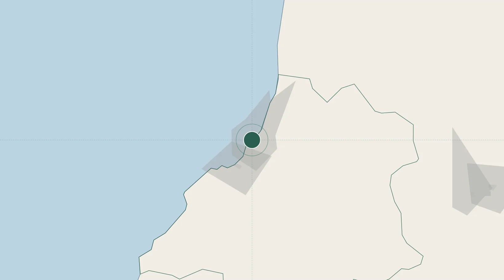
Lobito
-12.3449°, 13.5516°
357,950
Population
2
Transport functions
1
Container terminals
Transport Functions
Port
Postal
Hub Profile
Place type
Populated place
Region
Benguela
Population
357,950
Time zone
Africa/Luanda
Elevation
4 m
Logistics facilities
3
Container terminals
1
Location
Nearby Logistics Neighbours
Cities
- 1Farta Bay49 km
- 2Cuio94 km
- 3River Sao Nicolau250 km
- 4Baba311 km
- 5Porto Saco (Portosalazar)346 km
Ports
- 1Sumbe131 km
- 2Porto Amboim181 km
- 3Namibe352 km
- 4Luanda396 km
- 5Porto Do Ambriz504 km
Airports
- 1Catumbela Airport17 km
- 2Benguela Airport34 km
- 3Sumbe Airport135 km
- 4Porto Amboim Airport182 km
- 5Albano Machado Airport245 km
Trade Zones
DatabookThe Record of Consolidated Knowledge
Angola beyond logistics?