Transport Functions
Port
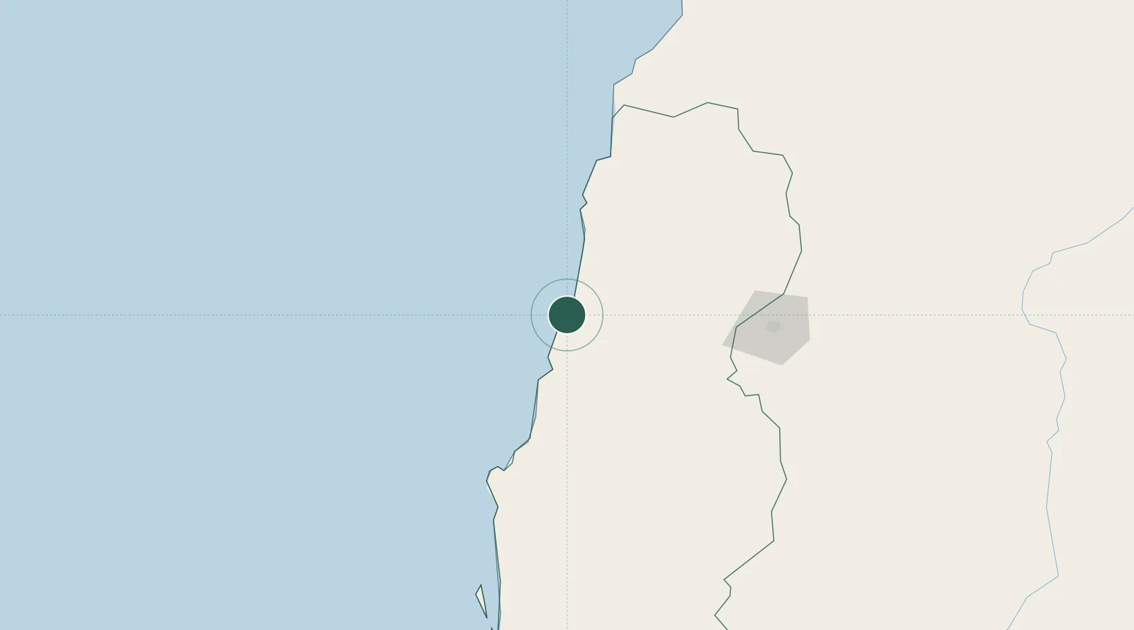
Location
Nearby Logistics Neighbours
Cities
- 1Porto Saco (Portosalazar)35 km
- 2River Sao Nicolau66 km
- 3Baía dos Tigres204 km
- 4Cuio221 km
- 5Farta Bay268 km
Ports
- 1Namibe42 km
- 2Lobito313 km
- 3Sumbe440 km
- 4Porto Amboim485 km
- 5Luanda680 km
Airports
- 1Welwitschia Mirabilis International Airport49 km
- 2Lubango Mukanka International Airport145 km
- 3Benguela Airport278 km
- 4Catumbela Airport295 km
- 5Xangongo Airport362 km
Trade Zones
DatabookThe Record of Consolidated Knowledge
Angola beyond logistics?