Seaport · Angola
LobitoAOLOB
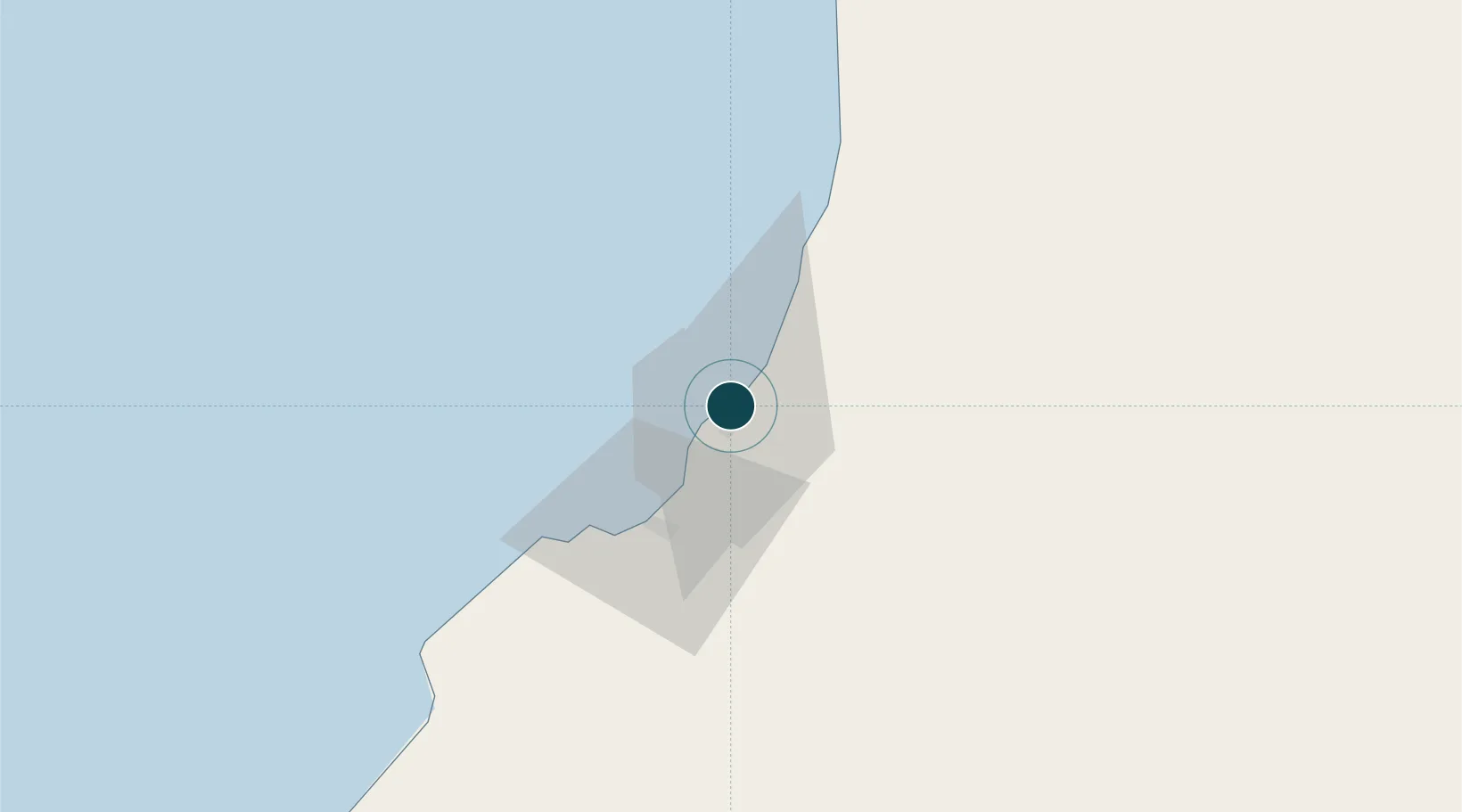
-12.3333°, 13.5667°
18.3 m
Channel depth
1
Container terminals
71.8
Port liner connectivity
Channel & Berth Profile
Pilotage, Tugs & Services
Pilotage compulsoryYES
Pilotage availableYES
Pilotage advisableYES
Tug assistanceYES
Salvage tugsNO
Shore powerYES
Potable waterYES
Diesel bunkersNO
MedicalYES
Garbage disposalYES
Facilities & Capabilities
Container—
Ro-Ro—
Liquid bulk—
Dry bulk—
Oil terminal—
Break bulk—
Dry dockNO
RepairsNO
BunkeringYES
Rail linkYES
Dangerous cargo—
ISPS security—
Harbour Specifications
Harbour size
Small
Harbour type
Coastal (Natural)
Shelter
Good
Water body
South Atlantic Ocean
Tidal range
1.7 m
Overhead limit
Yes
Pilotage
Yes
Liner Connectivity
71.8
PLSCI
Port Liner Shipping Connectivity Index for Lobito, as published by UNCTAD for the latest available quarter. Higher values indicate stronger scheduled liner-shipping integration.
Shown relative to the highest per-port PLSCI in the dataset (1,657.9).
Location
Container Terminals · 1
LOBITO TERMINAL
LOBT PORTO DO LOBITO
Nearby Logistics Neighbours
Ports
- 1Sumbe129 km
- 2Porto Amboim179 km
- 3Namibe354 km
- 4Luanda394 km
- 5Porto Do Ambriz503 km
Cities
- 1Farta Bay51 km
- 2Cuio96 km
- 3River Sao Nicolau252 km
- 4Baba313 km
- 5Porto Saco (Portosalazar)348 km
Airports
- 1Catumbela Airport18 km
- 2Benguela Airport35 km
- 3Sumbe Airport133 km
- 4Porto Amboim Airport181 km
- 5Albano Machado Airport244 km
Trade Zones
DatabookThe Record of Consolidated Knowledge
Angola beyond logistics?