Small airport · Botswana
Shakawe AirportFBSW
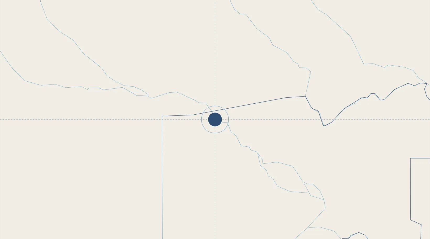
-18.3739°, 21.8326°
6,102 ft
Longest runway
1
Runways
3,379 ft
Elevation
Runway & Layout

Runways · 1
| Runway | Dimensions | Surface | True heading | Lit |
|---|---|---|---|---|
| 09/27 | 6,102 × —ft | Asphalt | — | — |
Airport Specifications
IATA code
SWX
ICAO code
FBSW
Airport class
Small airport
Scheduled service
Yes
Runway surface
Asphalt
Served city
Shakawe
Location
Nearby Logistics Neighbours
Airports
- 1Rundu Airport228 km
- 2Maun International Airport244 km
- 3Katima Mulilo Airport261 km
- 4Kasane International Airport357 km
- 5Mongu Airport375 km
Cities
- 1Thompson Junction488 km
- 2Dukwi551 km
- 3Oshikango639 km
- 4Okahandja651 km
- 5Francistown671 km
Ports
- 1Walvis Bay917 km
- 2Namibe1089 km
- 3Lobito1112 km
- 4Luderitz Bay1148 km
- 5Sumbe1173 km
DatabookThe Record of Consolidated Knowledge
Botswana beyond logistics?