Large airport · Botswana

Kasane International AirportFBKE
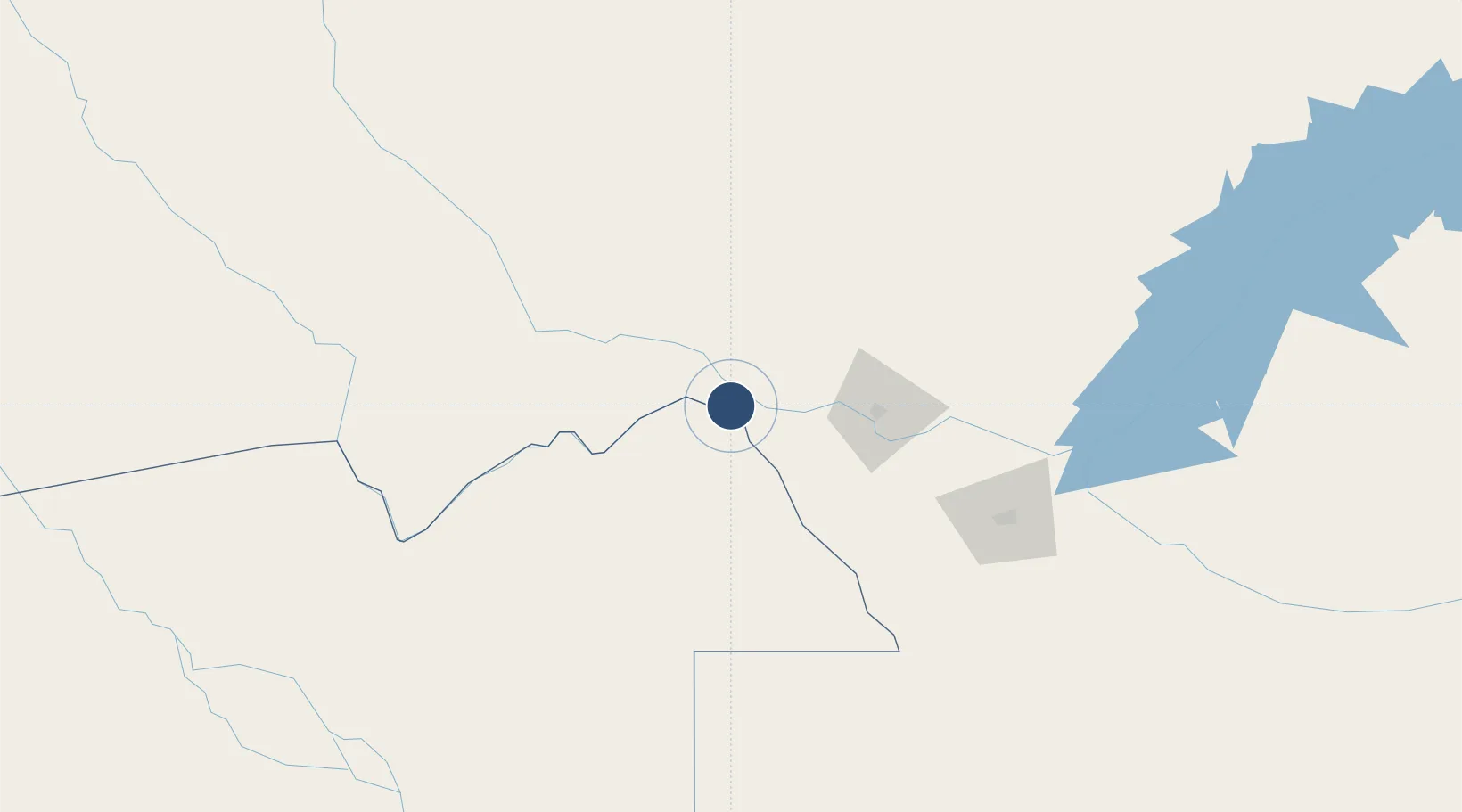
-17.8317°, 25.1662°
6,562 ft
Longest runway
1
Runways
3,289 ft
Elevation

Runway & Layout

Kasane International Airport runway & taxiway layout
Runway & taxiway layout — OpenStreetMap (ODbL) / OurAirports

Radio Frequencies

TWR
118.6 MHz
APP
127.2 MHz
OurAirports

Navaids

KAS NDB Kasane 287 kHz
KSV VOR-DME Kasane 113.30 MHz
OurAirports

Runways · 1

RunwayDimensions SurfaceTrue headingLit
08/26 6,562 × 98ft Asphalt 071°
OurAirports

Airport Specifications

IATA code
BBK
OurAirports
ICAO code
FBKE
OurAirports
Airport class
Large airport
OurAirports
Scheduled service
Yes
OurAirports
Runway surface
Asphalt
OurAirports
Served city
Kasane
OurAirports

Location

Location of FBKE
Natural Earth 10m (public domain) · North-West · FBKE · -17.83, 25.17GoogleOSMYandex

Nearby Logistics Neighbours

Airports
  1. 1Harry Mwanga Nkumbula International Airport69 km
  2. 2Victoria Falls International Airport77 km
  3. 3Katima Mulilo Airport107 km
  4. 4Hwange National Park Airport215 km
  5. 5Maun International Airport300 km
Nearest neighbours — logibook spatial index (haversine) over the source coordinates
Cities
  1. 1Thompson Junction135 km
  2. 2Dukwi338 km
  3. 3Mazabuka353 km
  4. 4Gokwe401 km
  5. 5Siavonga404 km
Nearest neighbours — logibook spatial index (haversine) over the source coordinates
Ports
  1. 1Beira1041 km
  2. 2Maputo1181 km
  3. 3Chinde1200 km
  4. 4Quelimane1240 km
  5. 5Walvis Bay1248 km
Nearest neighbours — logibook spatial index (haversine) over the source coordinates
DatabookThe Record of Consolidated Knowledge
Botswana beyond logistics?
Browse databook

All Sources

AirportsOurAirports
Public domain
Portsthe NGA World Port Index
Public domain (US gov)
LocationsUN/LOCODE
UN/LOCODE — free
Trade Zonesthe World Bank SEZ database
CC BY 4.0
Trade ZonesOpen Zone Map
CC BY
InfrastructureOpenStreetMap
ODbL 1.0
← Botswana airports