Diversified Zone · Zimbabwe

Victoria Falls-Binga Special Economic Zone Active
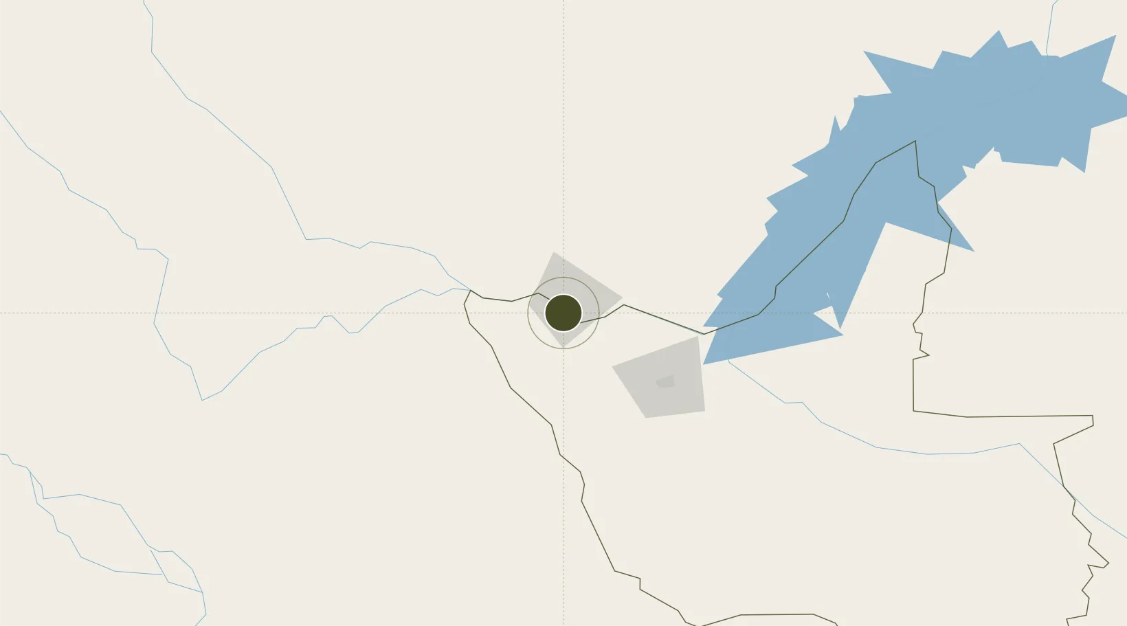
-17.9346°, 25.8367°
107 ha
Zone area
969.6 km
Nearest port
12.7 km
Nearest airport

Gateway access

Nearest neighbours — logibook spatial index (haversine) over the source coordinates

Zone profile

Zone type
Diversified Zone
Open Zone Map
Region
Matabeleland North
Open Zone Map
Status
Active
Open Zone Map
Management
Public
Open Zone Map
Operator
Southpole Consulting Ltd.
Open Zone Map
Legal framework
Zimbabwe Investment and Development Agency Act
Open Zone Map

Location

Location of ozm-5215
Natural Earth 10m (public domain) · Matabeleland North · ozm-5215 · -17.93, 25.84GoogleOSMYandex

Nearby Logistics Neighbours

Ports
  1. 1Beira970 km
  2. 2Chinde1128 km
  3. 3Maputo1129 km
  4. 4Quelimane1169 km
  5. 5Inhambane1195 km
Nearest neighbours — logibook spatial index (haversine) over the source coordinates
Airports
  1. 1Harry Mwanga Nkumbula International Airport13 km
  2. 2Victoria Falls International Airport18 km
  3. 3Kasane International Airport72 km
  4. 4Hwange National Park Airport147 km
  5. 5Katima Mulilo Airport179 km
Nearest neighbours — logibook spatial index (haversine) over the source coordinates
Cities
  1. 1Thompson Junction64 km
  2. 2Dukwi304 km
  3. 3Mazabuka308 km
  4. 4Gokwe329 km
  5. 5Siavonga343 km
Nearest neighbours — logibook spatial index (haversine) over the source coordinates
DatabookThe Record of Consolidated Knowledge
Zimbabwe beyond logistics?
Browse databook

All Sources

Trade ZonesOpen Zone Map
CC BY
Portsthe NGA World Port Index
Public domain (US gov)
AirportsOurAirports
Public domain
LocationsUN/LOCODE
UN/LOCODE — free
← Zimbabwe trade zones