Medium airport · Namibia

Katima Mulilo AirportFYKM
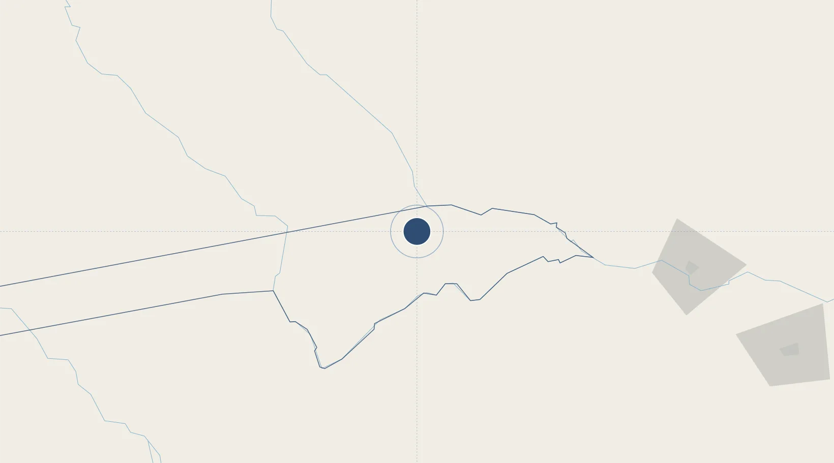
-17.6343°, 24.1767°
7,520 ft
Longest runway
1
Runways
3,144 ft
Elevation

Runway & Layout

Katima Mulilo Airport runway & taxiway layout
Runway & taxiway layout — OpenStreetMap (ODbL) / OurAirports

Radio Frequencies

TWR
125.6 MHz
OurAirports

Navaids

KL NDB Katima Mulilo 332 kHz
OurAirports

Runways · 1

RunwayDimensions SurfaceTrue headingLit
09/27 7,520 × 128ft Asphalt 080°
OurAirports

Airport Specifications

IATA code
MPA
OurAirports
ICAO code
FYKM
OurAirports
Airport class
Medium airport
OurAirports
Scheduled service
Yes
OurAirports
Runway surface
Asphalt
OurAirports
Served city
Mpacha
OurAirports

Location

Location of FYKM
Natural Earth 10m (public domain) · Caprivi · FYKM · -17.63, 24.18GoogleOSMYandex

Nearby Logistics Neighbours

Airports
  1. 1Kasane International Airport107 km
  2. 2Harry Mwanga Nkumbula International Airport175 km
  3. 3Victoria Falls International Airport183 km
  4. 4Shakawe Airport261 km
  5. 5Maun International Airport271 km
Nearest neighbours — logibook spatial index (haversine) over the source coordinates
Cities
  1. 1Thompson Junction242 km
  2. 2Dukwi411 km
  3. 3Mazabuka430 km
  4. 4Siavonga498 km
  5. 5Gokwe507 km
Nearest neighbours — logibook spatial index (haversine) over the source coordinates
Ports
  1. 1Beira1148 km
  2. 2Walvis Bay1169 km
  3. 3Maputo1266 km
  4. 4Lobito1283 km
  5. 5Chinde1306 km
Nearest neighbours — logibook spatial index (haversine) over the source coordinates
DatabookThe Record of Consolidated Knowledge
Namibia beyond logistics?
Browse databook

All Sources

AirportsOurAirports
Public domain
Portsthe NGA World Port Index
Public domain (US gov)
LocationsUN/LOCODE
UN/LOCODE — free
Trade Zonesthe World Bank SEZ database
CC BY 4.0
Trade ZonesOpen Zone Map
CC BY
InfrastructureOpenStreetMap
ODbL 1.0
← Namibia airports