Export Processing Zone · Botswana

Francistown Special Economic Zone Under Development
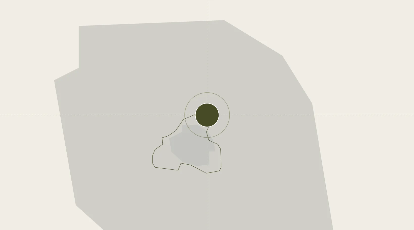
-21.1176°, 27.5352°
700 ha
Zone area
742.1 km
Nearest port
8.3 km
Nearest airport

Gateway access

Nearest neighbours — logibook spatial index (haversine) over the source coordinates

Zone profile

Zone type
Export Processing Zone
Open Zone Map
Region
Francistown
Open Zone Map
Status
Under Development
Open Zone Map
Management
Public
Open Zone Map
Operator
Special Economic Zones Authority of Botswana
Open Zone Map
Legal framework
Special Economic Zones Act (Act 13, 2015)
Open Zone Map

Location

Location of ozm-208
Natural Earth 10m (public domain) · Francistown · ozm-208 · -21.12, 27.54GoogleOSMYandex

Nearby Logistics Neighbours

Ports
  1. 1Maputo742 km
  2. 2Beira774 km
  3. 3Inhambane866 km
  4. 4Richards Bay971 km
  5. 5Chinde979 km
Nearest neighbours — logibook spatial index (haversine) over the source coordinates
Airports
  1. 1Phillip Gaonwe Matante International Airport8 km
  2. 2Selebi Phikwe Airport109 km
  3. 3Sua Pan Airport160 km
  4. 4Joshua Mqabuko Nkomo International Airport167 km
  5. 5Hwange National Park Airport282 km
Nearest neighbours — logibook spatial index (haversine) over the source coordinates
Cities
  1. 1Francistown6 km
  2. 2Dukwi120 km
  3. 3Gwanda153 km
  4. 4Palapye166 km
  5. 5Filabusi193 km
Nearest neighbours — logibook spatial index (haversine) over the source coordinates
DatabookThe Record of Consolidated Knowledge
Botswana beyond logistics?
Browse databook

All Sources

Trade ZonesOpen Zone Map
CC BY
Portsthe NGA World Port Index
Public domain (US gov)
AirportsOurAirports
Public domain
LocationsUN/LOCODE
UN/LOCODE — free
← Botswana trade zones