Medium airport · Namibia
Rundu AirportFYRU
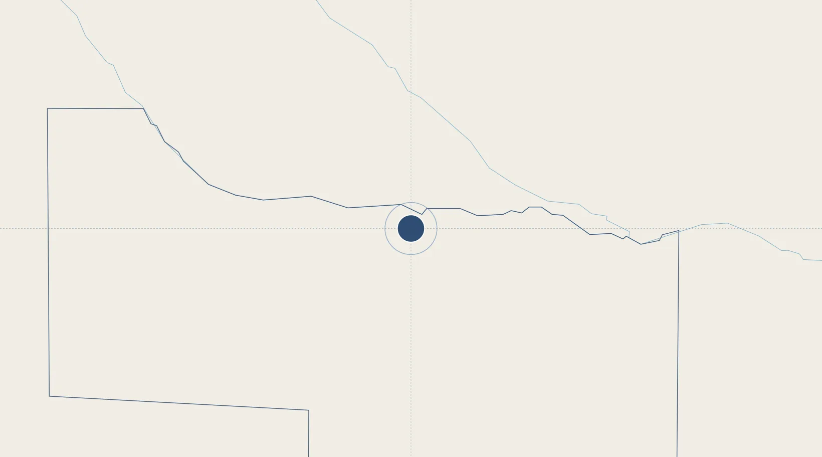
-17.9565°, 19.7194°
11,004 ft
Longest runway
1
Runways
3,627 ft
Elevation
Runway & Layout

Radio Frequencies
CTAF
124.8 MHz
Runways · 1
| Runway | Dimensions | Surface | True heading | Lit |
|---|---|---|---|---|
| 08/26 | 11,004 × 98ft | Asphalt | 072° | — |
Airport Specifications
IATA code
NDU
ICAO code
FYRU
Airport class
Medium airport
Scheduled service
Yes
Runway surface
Asphalt
Served city
Rundu
Location
Nearby Logistics Neighbours
Airports
- 1Shakawe Airport228 km
- 2Grootfontein Airport249 km
- 3Tsumeb Airport255 km
- 4Halali Airport364 km
- 5Ondangwa Airport399 km
Cities
- 1Oshikango411 km
- 2Okahandja535 km
- 3Ruacana572 km
- 4Thompson Junction710 km
- 5Dukwi772 km
Ports
- 1Walvis Bay777 km
- 2Namibe863 km
- 3Lobito909 km
- 4Sumbe982 km
- 5Porto Amboim1029 km
DatabookThe Record of Consolidated Knowledge
Namibia beyond logistics?