Medium airport · Zambia
Mongu AirportFLMG
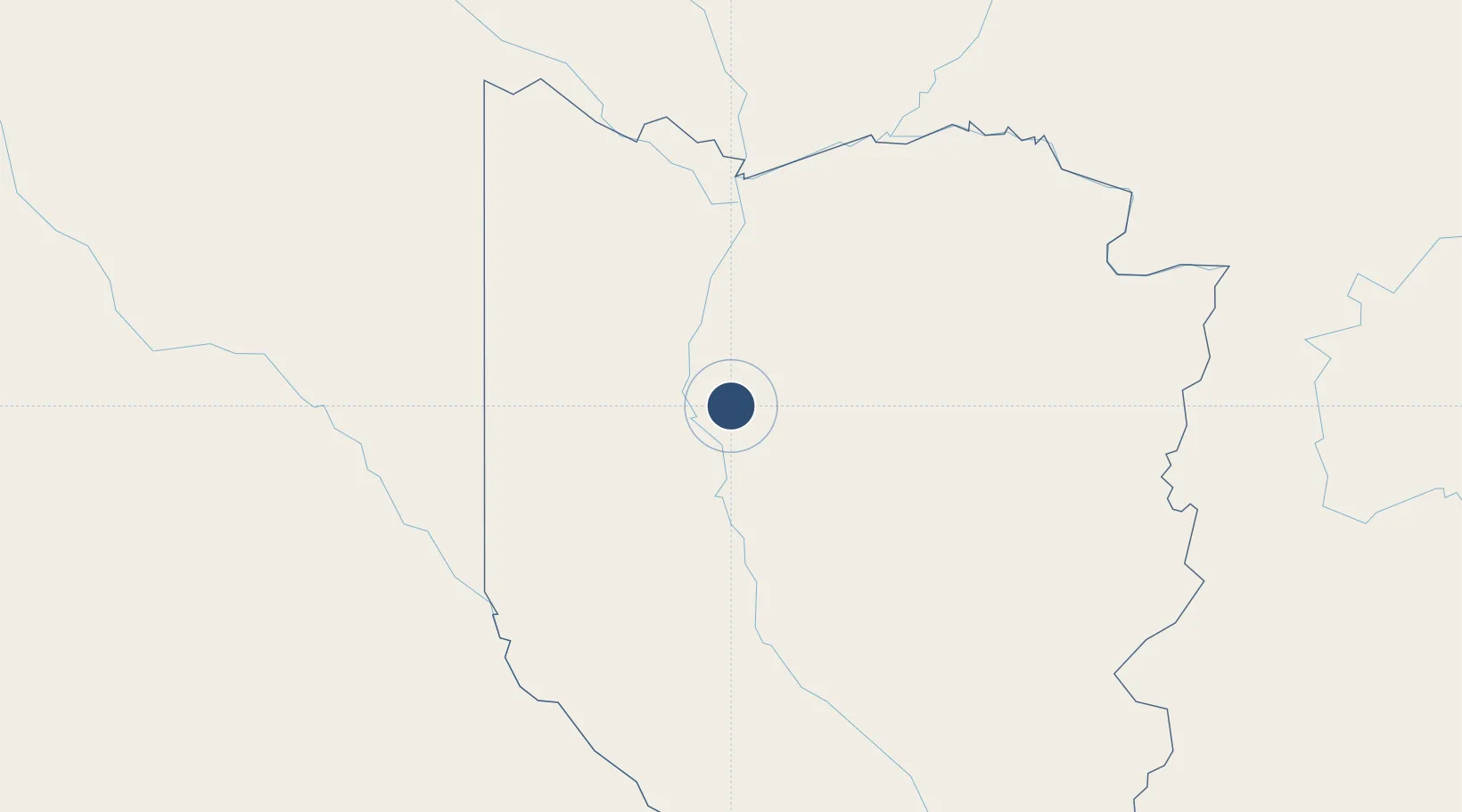
-15.2545°, 23.1623°
4,800 ft
Longest runway
1
Runways
3,488 ft
Elevation
Runway & Layout

Radio Frequencies
A/G
118.1 MHz
A/G VOICE RDO
Navaids
MG NDB Mongu 391 kHz
Runways · 1
| Runway | Dimensions | Surface | True heading | Lit |
|---|---|---|---|---|
| 09/27 | 4,800 × 69ft | BRI | 085° | — |
Airport Specifications
IATA code
MNR
ICAO code
FLMG
Airport class
Medium airport
Scheduled service
No
Runway surface
BRI
Served city
Mongu
Location
Nearby Logistics Neighbours
Airports
- 1Katima Mulilo Airport286 km
- 2Kasane International Airport357 km
- 3Shakawe Airport375 km
- 4Harry Mwanga Nkumbula International Airport402 km
- 5Kalumbila Airport415 km
Cities
- 1Thompson Junction463 km
- 2Mazabuka498 km
- 3Mutasa523 km
- 4Kipushi588 km
- 5Kalulishi595 km
Ports
- 1Lobito1086 km
- 2Sumbe1106 km
- 3Porto Amboim1137 km
- 4Namibe1181 km
- 5Walvis Bay1249 km
DatabookThe Record of Consolidated Knowledge
Zambia beyond logistics?