Economic Revitalization Project · Botswana

Pandamatenga Special Economic Zone Active
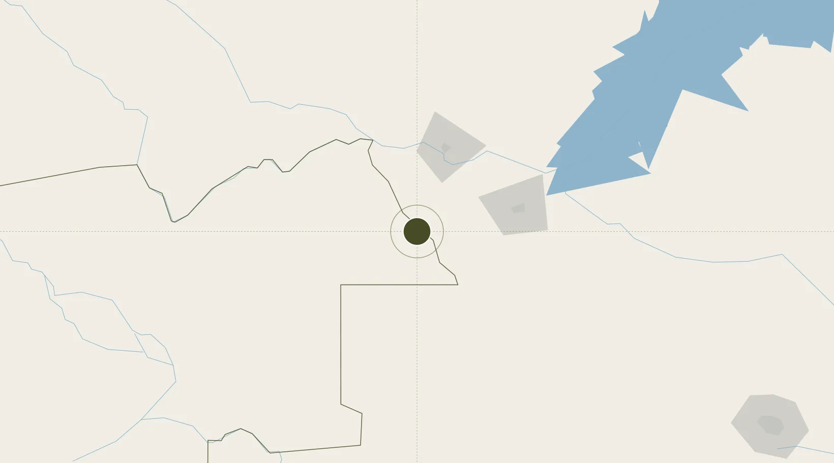
-18.5555°, 25.6266°
137,007 ha
Zone area
977.1 km
Nearest port
55.6 km
Nearest airport

Gateway access

Nearest neighbours — logibook spatial index (haversine) over the source coordinates

Zone profile

Zone type
Economic Revitalization Project
Open Zone Map
Region
North-West
Open Zone Map
Status
Active
Open Zone Map
Management
Public
Open Zone Map
Operator
Special Economic Zones Authority
Open Zone Map
Legal framework
Special Economic Zones Act (Act 13, 2015)
Open Zone Map

Location

Location of ozm-204
Natural Earth 10m (public domain) · North-West · ozm-204 · -18.56, 25.63GoogleOSMYandex

Nearby Logistics Neighbours

Ports
  1. 1Beira977 km
  2. 2Maputo1088 km
  3. 3Chinde1146 km
  4. 4Inhambane1175 km
  5. 5Quelimane1191 km
Nearest neighbours — logibook spatial index (haversine) over the source coordinates
Airports
  1. 1Victoria Falls International Airport56 km
  2. 2Harry Mwanga Nkumbula International Airport84 km
  3. 3Kasane International Airport94 km
  4. 4Hwange National Park Airport147 km
  5. 5Katima Mulilo Airport184 km
Nearest neighbours — logibook spatial index (haversine) over the source coordinates
Cities
  1. 1Thompson Junction105 km
  2. 2Dukwi245 km
  3. 3Gokwe351 km
  4. 4Francistown351 km
  5. 5Mazabuka376 km
Nearest neighbours — logibook spatial index (haversine) over the source coordinates
DatabookThe Record of Consolidated Knowledge
Botswana beyond logistics?
Browse databook

All Sources

Trade ZonesOpen Zone Map
CC BY
Portsthe NGA World Port Index
Public domain (US gov)
AirportsOurAirports
Public domain
LocationsUN/LOCODE
UN/LOCODE — free
← Botswana trade zones