Export Processing Zone · Zambia

Livingstone Tourism Multi-Facility Economic Zone Active
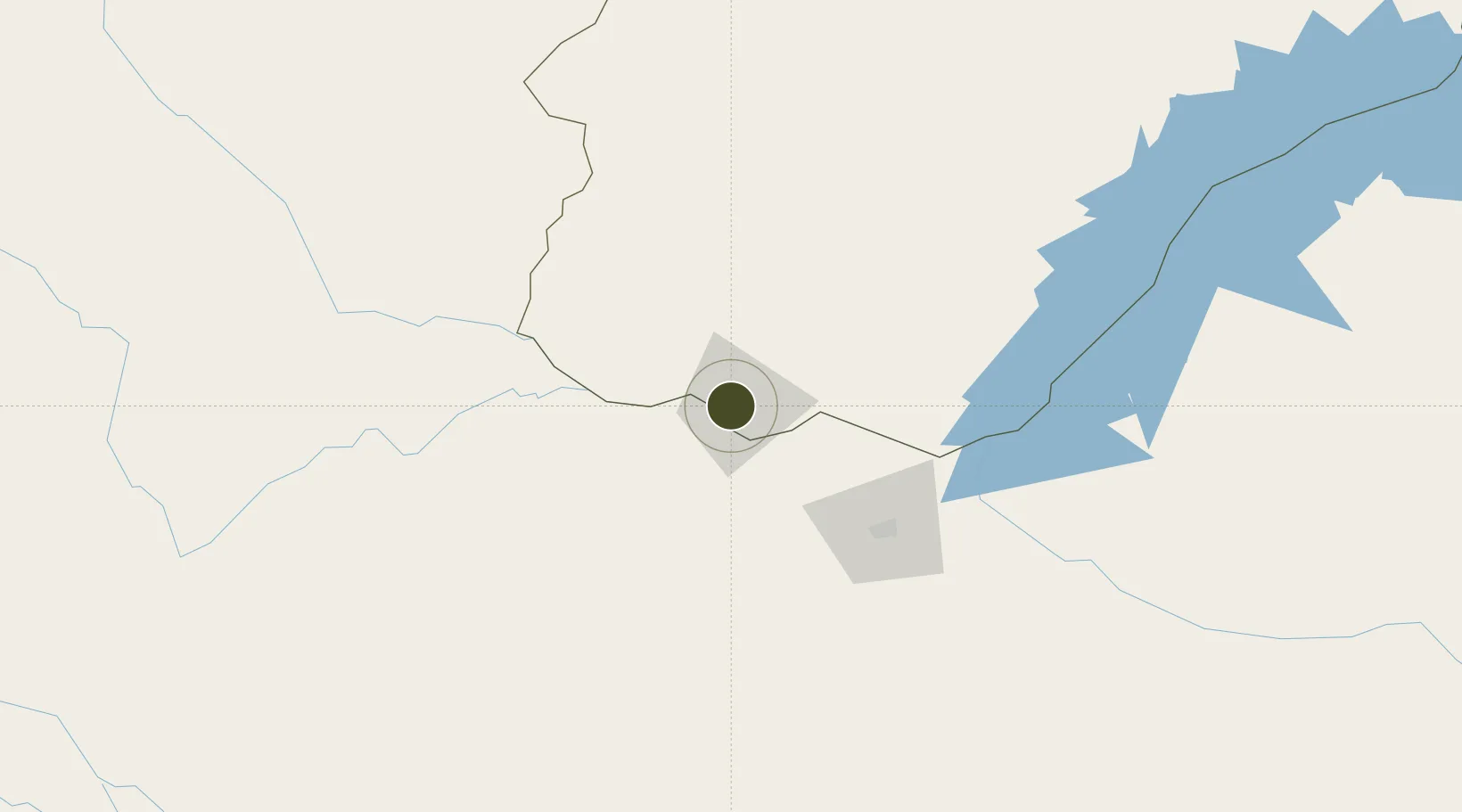
-17.8588°, 25.8465°
14 ha
Zone area
970.7 km
Nearest port
5.0 km
Nearest airport

Gateway access

Nearest neighbours — logibook spatial index (haversine) over the source coordinates

Zone profile

Zone type
Export Processing Zone
Open Zone Map
Region
Southern
Open Zone Map
Status
Active
Open Zone Map
Management
Public
Open Zone Map
Operator
Livingstone Tourism Association
Open Zone Map
Legal framework
Zambia Development Agency (ZDA) Act No. 11 of 2006
Open Zone Map

Location

Location of ozm-5206
Natural Earth 10m (public domain) · Southern · ozm-5206 · -17.86, 25.85GoogleOSMYandex

Nearby Logistics Neighbours

Ports
  1. 1Beira971 km
  2. 2Chinde1128 km
  3. 3Maputo1135 km
  4. 4Quelimane1168 km
  5. 5Inhambane1199 km
Nearest neighbours — logibook spatial index (haversine) over the source coordinates
Airports
  1. 1Harry Mwanga Nkumbula International Airport5 km
  2. 2Victoria Falls International Airport27 km
  3. 3Kasane International Airport72 km
  4. 4Hwange National Park Airport151 km
  5. 5Katima Mulilo Airport179 km
Nearest neighbours — logibook spatial index (haversine) over the source coordinates
Cities
  1. 1Thompson Junction64 km
  2. 2Mazabuka301 km
  3. 3Dukwi311 km
  4. 4Gokwe329 km
  5. 5Siavonga339 km
Nearest neighbours — logibook spatial index (haversine) over the source coordinates
Trade Zones
  1. 1Victoria Falls-Binga Special Economic Zone9 km
  2. 2Pandamatenga Special Economic Zone81 km
  3. 3Royal Monze Multi-Facility Economic Zone248 km
  4. 4Lusaka South Multi-Facility Economic Zone375 km
  5. 5Roma Multi-Facility Economic Zone382 km
Nearest neighbours — logibook spatial index (haversine) over the source coordinates
DatabookThe Record of Consolidated Knowledge
Zambia beyond logistics?
Browse databook

All Sources

Trade ZonesOpen Zone Map
CC BY
Portsthe NGA World Port Index
Public domain (US gov)
AirportsOurAirports
Public domain
LocationsUN/LOCODE
UN/LOCODE — free
← Zambia trade zones