UN/LOCODE hub · Zimbabwe
ZWTHJ

Thompson Junction

-18.0000°, 26.4333°
2
Transport functions

Transport Functions

Rail
Road
UN/LOCODE

Location

Location of ZWTHJ
Natural Earth 10m (public domain) · Matabeleland North · ZWTHJ · -18.00, 26.43GoogleOSMYandex

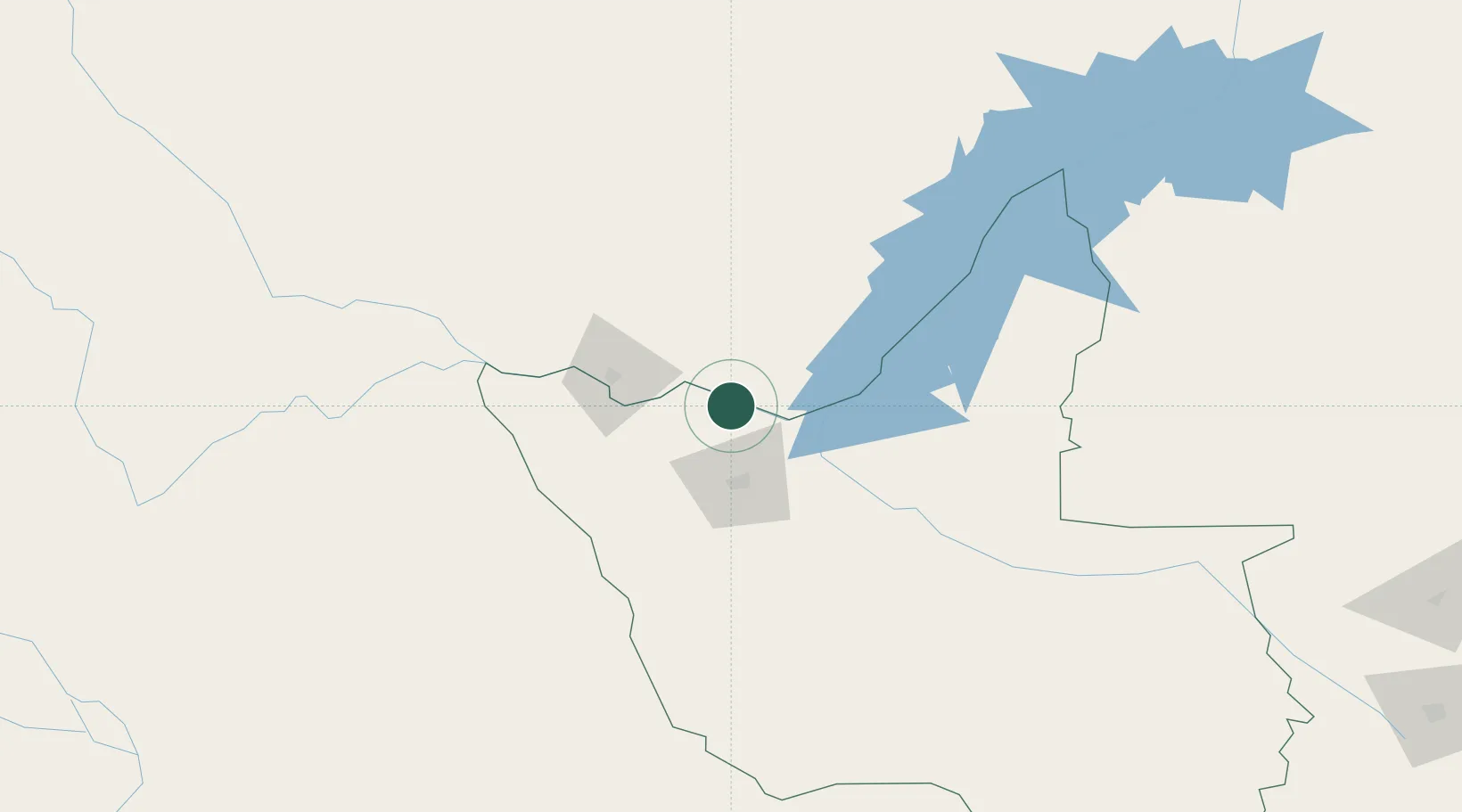
Nearby Logistics Neighbours

Cities
  1. 1Gokwe265 km
  2. 2Mazabuka276 km
  3. 3Dukwi287 km
  4. 4Siavonga292 km
  5. 5Francistown370 km
Nearest neighbours — logibook spatial index (haversine) over the source coordinates
Ports
  1. 1Beira907 km
  2. 2Chinde1065 km
  3. 3Maputo1086 km
  4. 4Quelimane1105 km
  5. 5Porto Belo1138 km
Nearest neighbours — logibook spatial index (haversine) over the source coordinates
Airports
  1. 1Victoria Falls International Airport64 km
  2. 2Harry Mwanga Nkumbula International Airport68 km
  3. 3Hwange National Park Airport94 km
  4. 4Kasane International Airport135 km
  5. 5Katima Mulilo Airport242 km
Nearest neighbours — logibook spatial index (haversine) over the source coordinates
DatabookThe Record of Consolidated Knowledge
Zimbabwe beyond logistics?
Browse databook

All Sources

LocationsUN/LOCODE
UN/LOCODE — free
Portsthe NGA World Port Index
Public domain (US gov)
AirportsOurAirports
Public domain
Trade Zonesthe World Bank SEZ database
CC BY 4.0
Trade ZonesOpen Zone Map
CC BY
← Zimbabwe locations