Transport Functions
Multimodal
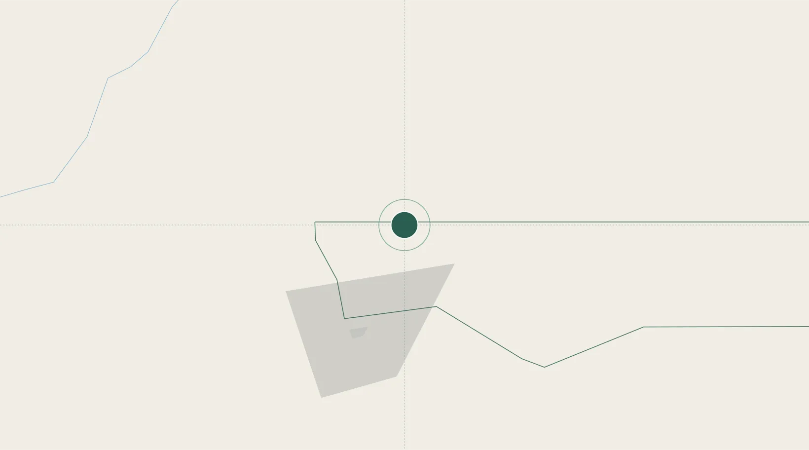
Hub Profile
Place type
Populated place
Region
Ohangwena Region
Population
2,658
Time zone
Africa/Windhoek
Elevation
1,100 m
Location
Nearby Logistics Neighbours
Cities
- 1Ruacana163 km
- 2Baía dos Tigres450 km
- 3Porto Saco (Portosalazar)473 km
- 4Baba483 km
- 5River Sao Nicolau517 km
Ports
- 1Namibe468 km
- 2Lobito616 km
- 3Walvis Bay634 km
- 4Sumbe724 km
- 5Porto Amboim776 km
Airports
- 1Ngjiva Pereira Airport45 km
- 2Ondangwa Airport54 km
- 3Xangongo Airport121 km
- 4Halali Airport191 km
- 5Tsumeb Airport285 km
Trade Zones
DatabookThe Record of Consolidated Knowledge
Namibia beyond logistics?