UN/LOCODE hub · Botswana
BWFRW
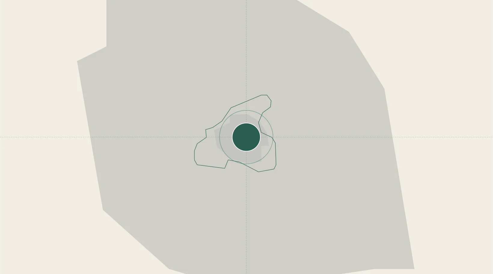
Francistown
-21.1667°, 27.5167°
103,417
Population
4
Transport functions
Transport Functions
Rail
Road
Airport
Multimodal
Hub Profile
Place type
Regional capital
Region
City of Francistown
Population
103,417
Time zone
Africa/Gaborone
Elevation
989 m
Logistics facilities
1
Location
Nearby Logistics Neighbours
Ports
- 1Maputo739 km
- 2Beira776 km
- 3Inhambane865 km
- 4Richards Bay967 km
- 5Chinde983 km
Airports
DatabookThe Record of Consolidated Knowledge
Botswana beyond logistics?