Transport Functions
Port
Multimodal
Hub Profile
Region
CE
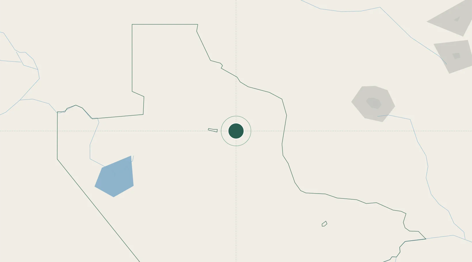
Location
Nearby Logistics Neighbours
Cities
- 1Francistown121 km
- 2Palapye229 km
- 3Gwanda259 km
- 4Mahalapye282 km
- 5Filabusi286 km
Ports
- 1Maputo857 km
- 2Beira870 km
- 3Inhambane985 km
- 4Chinde1068 km
- 5Richards Bay1073 km
Airports
DatabookThe Record of Consolidated Knowledge
Botswana beyond logistics?