Export Processing Zone · Zambia
Royal Monze Multi-Facility Economic Zone Under Development
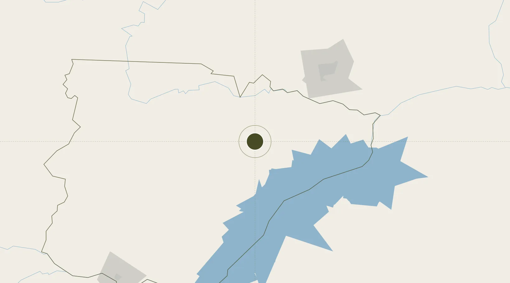
-16.2641°, 27.4757°
27 ha
Zone area
873.1 km
Nearest port
131.6 km
Nearest airport
Gateway access
Zone profile
Zone type
Export Processing Zone
Region
Southern
Status
Under Development
Management
Public-Private Partnership
Operator
Zambia China Commercial and Trade Cooperation Zone
Legal framework
Zambia Development Agency (ZDA) Act No. 11 of 2006
Location
Nearby Logistics Neighbours
Ports
- 1Beira873 km
- 2Chinde991 km
- 3Quelimane1016 km
- 4Porto Belo1045 km
- 5Pebane1142 km
Airports
- 1Lusaka City Airport132 km
- 2Kenneth Kaunda International Airport147 km
- 3Kariba Airport153 km
- 4Harry Mwanga Nkumbula International Airport247 km
- 5Hwange National Park Airport267 km
Cities
- 1Mazabuka54 km
- 2Siavonga136 km
- 3Thompson Junction223 km
- 4Gokwe267 km
- 5Chegutu352 km
DatabookThe Record of Consolidated Knowledge
Zambia beyond logistics?