Transport Functions
Port
Rail
Road
Hub Profile
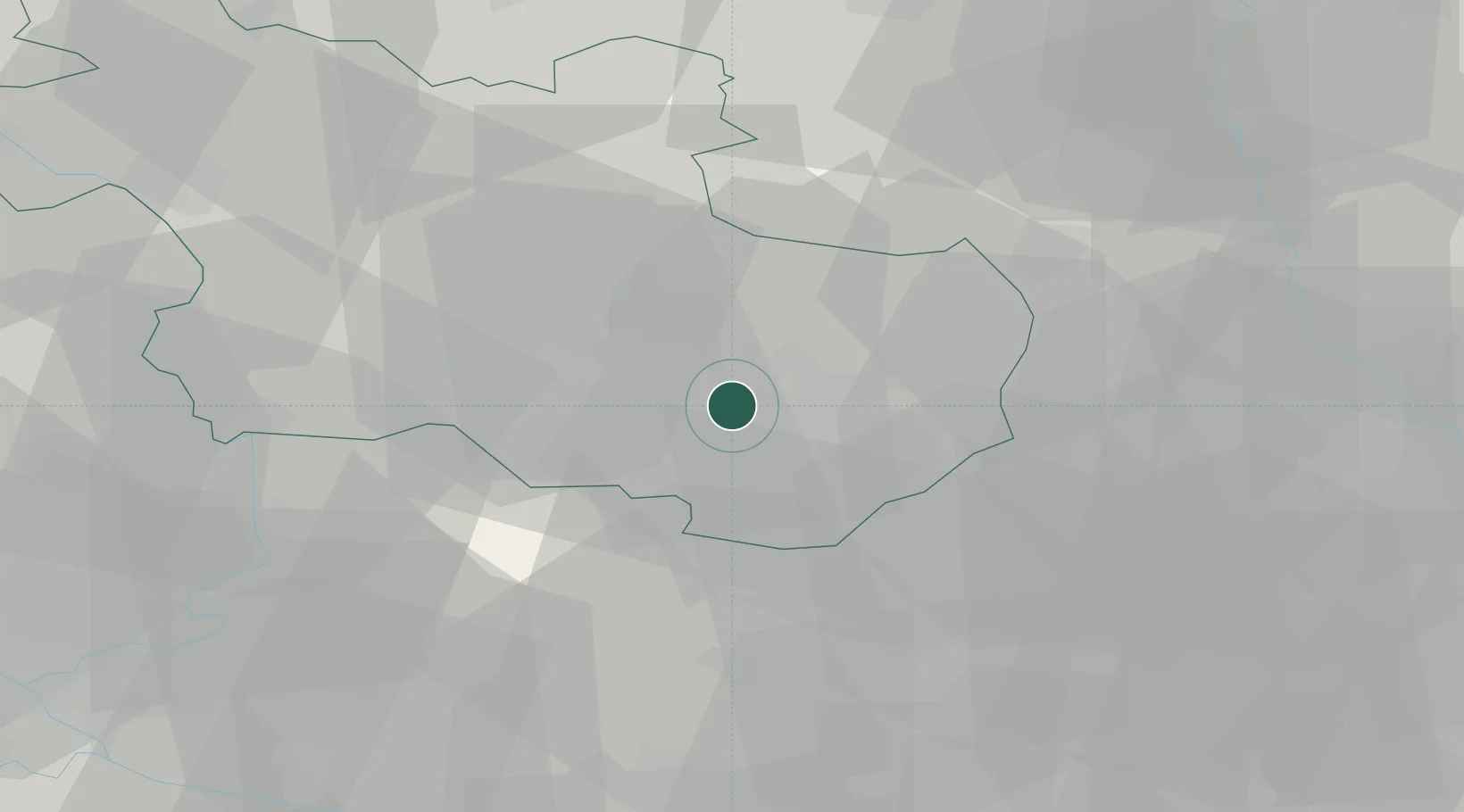
Place type
Populated place
Region
Overijssel
Population
6,920
Time zone
Europe/Amsterdam
Elevation
19 m
Location
Nearby Logistics Neighbours
Airports
- 1Twente Airport12 km
- 2Deelen Air Base62 km
- 3Münster Osnabrück Airport68 km
- 4Weeze (Niederrhein) Airport84 km
- 5Lelystad Airport84 km
Trade Zones
DatabookThe Record of Consolidated Knowledge
Netherlands beyond logistics?