Medium airport · United Kingdom

Leeds East AirportEGXG
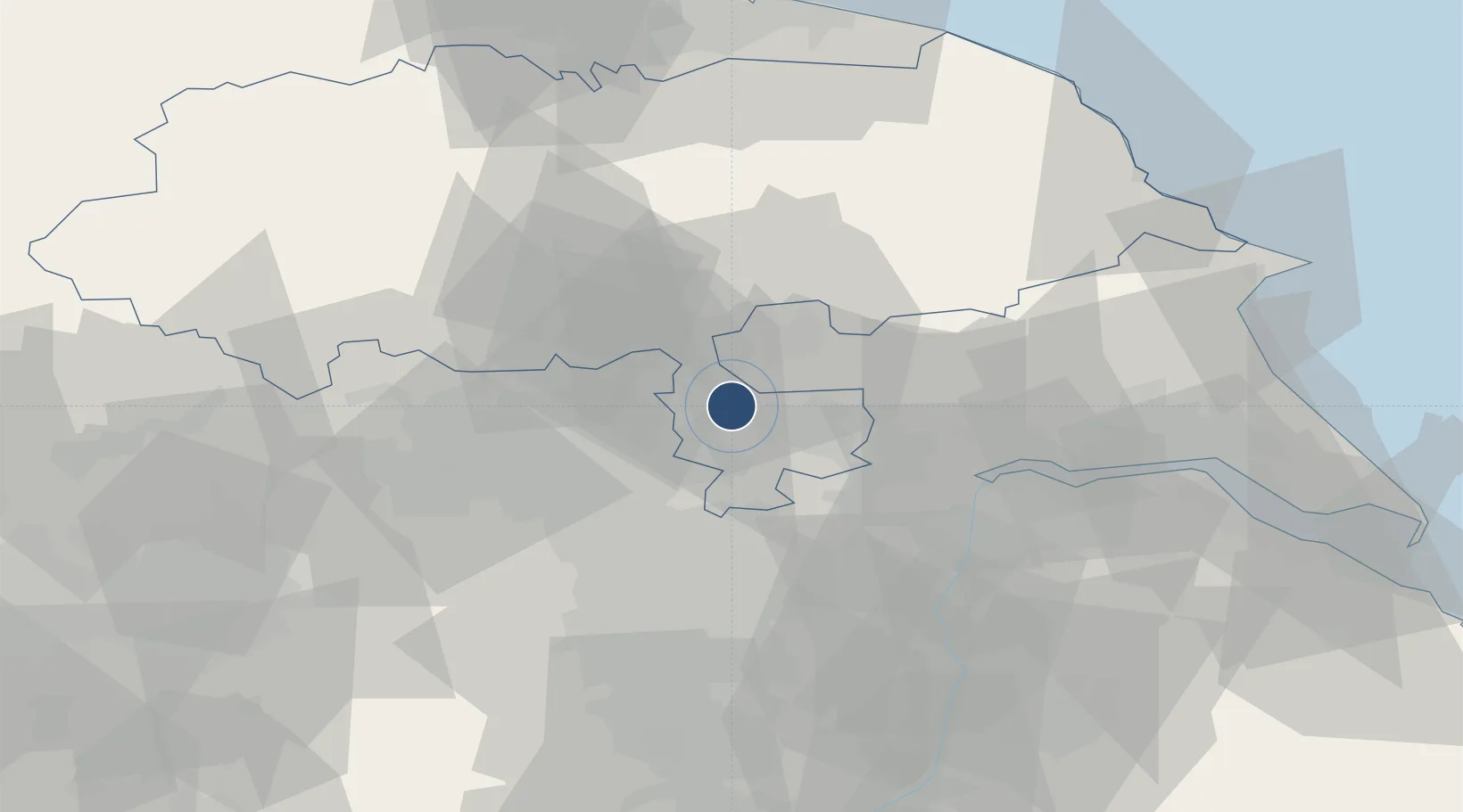
53.8347°, -1.1947°
6,158 ft
Longest runway
2
Runways
29 ft
Elevation

Runway & Layout

Leeds East Airport runway & taxiway layout
Runway & taxiway layout — OpenStreetMap (ODbL) / OurAirports

Radio Frequencies

Info
126.5 MHz
Fenton Radio
OurAirports

Runways · 2

RunwayDimensions SurfaceTrue headingLit
06/24 6,158 × 151ft Asphalt 055°
16/34 5,466 × 151ft Asphalt 156°
OurAirports

Airport Specifications

ICAO code
EGCM
OurAirports
Airport class
Medium airport
OurAirports
Scheduled service
No
OurAirports
Runway surface
Asphalt
OurAirports
Served city
Tadcaster, North Yorkshire
OurAirports

Location

Location of EGXG
Natural Earth 10m (public domain) · North Yorkshire · EGXG · 53.83, -1.19GoogleOSMYandex

Nearby Logistics Neighbours

Airports
  1. 1Leeds Bradford Airport31 km
  2. 2RAF Topcliffe43 km
  3. 3RAF Leeming56 km
  4. 4Humberside Airport63 km
  5. 5Teesside International Airport77 km
Nearest neighbours — logibook spatial index (haversine) over the source coordinates
Cities
  1. 1Sherburn in Elmet5 km
  2. 2Hambleton8 km
  3. 3Riccall10 km
  4. 4Selby10 km
  5. 5Bilton14 km
Nearest neighbours — logibook spatial index (haversine) over the source coordinates
Ports
  1. 1Howdendyke23 km
  2. 2Goole28 km
  3. 3New Holland56 km
  4. 4Kingston Upon Hull61 km
  5. 5Immingham69 km
Nearest neighbours — logibook spatial index (haversine) over the source coordinates
Trade Zones
  1. 1York Central Enterprise Zone15 km
  2. 2Aire Valley Leeds Enterprise Zone20 km
  3. 3Sheffield City Region Enterprise Zone53 km
  4. 4Humberside Free Zone58 km
  5. 5Humber Enterprise Zone58 km
Nearest neighbours — logibook spatial index (haversine) over the source coordinates
DatabookThe Record of Consolidated Knowledge
United Kingdom beyond logistics?
Browse databook

All Sources

AirportsOurAirports
Public domain
Portsthe NGA World Port Index
Public domain (US gov)
LocationsUN/LOCODE
UN/LOCODE — free
Trade Zonesthe World Bank SEZ database
CC BY 4.0
Trade ZonesOpen Zone Map
CC BY
InfrastructureOpenStreetMap
ODbL 1.0
← United Kingdom airports