UN/LOCODE hub · United Kingdom
GBENW
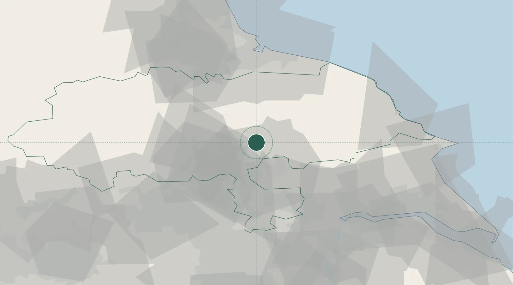
Easingwold
54.1167°, -1.1833°
4,358
Population
2
Transport functions
Transport Functions
Road
Multimodal
Hub Profile
Place type
Populated place
Region
England
Population
4,358
Time zone
Europe/London
Elevation
32 m
Location
Nearby Logistics Neighbours
Cities
- 1Farlington8 km
- 2Dalton13 km
- 3Upper Poppleton15 km
- 4Hessay17 km
- 5Flaxton18 km
Ports
- 1Howdendyke47 km
- 2Goole52 km
- 3Scarborough54 km
- 4Whitby55 km
- 5Teesport59 km
Airports
- 1RAF Topcliffe16 km
- 2RAF Leeming31 km
- 3Leeds East Airport31 km
- 4Leeds Bradford Airport42 km
- 5Teesside International Airport47 km
Trade Zones
DatabookThe Record of Consolidated Knowledge
United Kingdom beyond logistics?