Free Trade Zone · United Kingdom

Humberside Free Zone Inactive
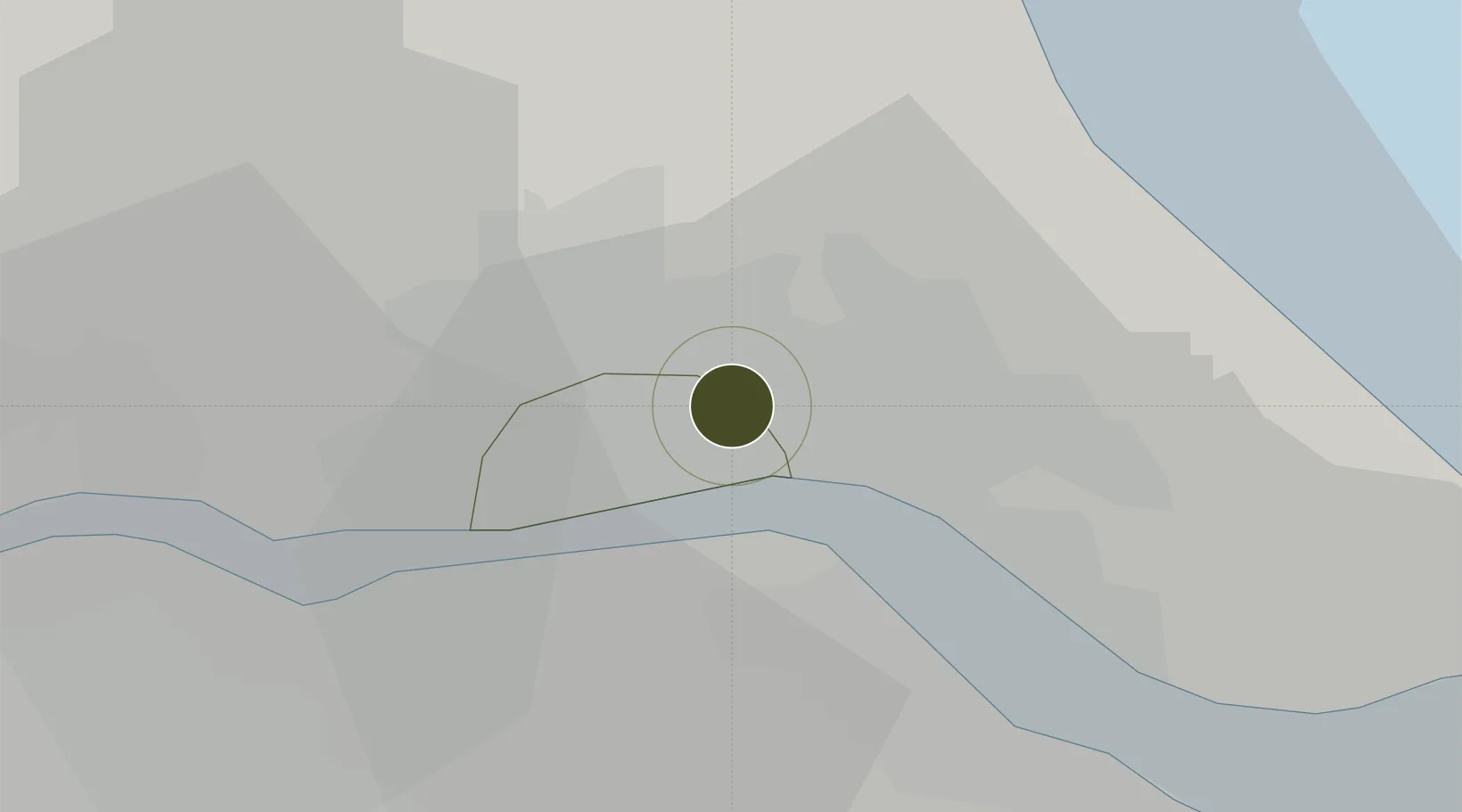
53.7734°, -0.3246°
4 ha
Zone area
3.8 km
Nearest port
22.0 km
Nearest airport

Gateway access

Nearest neighbours — logibook spatial index (haversine) over the source coordinates

Zone profile

Zone type
Free Trade Zone
Open Zone Map
Region
Kingston upon Hull
Open Zone Map
Status
Inactive
Open Zone Map
Management
Public-Private Partnership
Open Zone Map
Operator
Transport Development Group Limited
Open Zone Map
Legal framework
Control Type II Free Zone - The Free Zone (Humberside) Designation Order 1994
Open Zone Map

Location

Location of ozm-4712
Natural Earth 10m (public domain) · Kingston upon Hull · ozm-4712 · 53.77, -0.32GoogleOSMYandex

Nearby Logistics Neighbours

Ports
  1. 1Kingston Upon Hull4 km
  2. 2New Holland9 km
  3. 3Immingham18 km
  4. 4Grimsby27 km
  5. 5Goole34 km
Nearest neighbours — logibook spatial index (haversine) over the source coordinates
Airports
  1. 1Humberside Airport22 km
  2. 2Leeds East Airport58 km
  3. 3RAF Waddington69 km
  4. 4RAF Coningsby76 km
  5. 5RAF Cranwell84 km
Nearest neighbours — logibook spatial index (haversine) over the source coordinates
Cities
  1. 1Hull4 km
  2. 2Salt End8 km
  3. 3Binbrook9 km
  4. 4New Holland9 km
  5. 5Hessle/Hull10 km
Nearest neighbours — logibook spatial index (haversine) over the source coordinates
Trade Zones
  1. 1Humber Enterprise Zone4 km
  2. 2York Central Enterprise Zone55 km
  3. 3Aire Valley Leeds Enterprise Zone76 km
  4. 4Sheffield City Region Enterprise Zone87 km
  5. 5Tees Valley Enterprise Zone108 km
Nearest neighbours — logibook spatial index (haversine) over the source coordinates
DatabookThe Record of Consolidated Knowledge
United Kingdom beyond logistics?
Browse databook

All Sources

Trade ZonesOpen Zone Map
CC BY
Portsthe NGA World Port Index
Public domain (US gov)
AirportsOurAirports
Public domain
LocationsUN/LOCODE
UN/LOCODE — free
← United Kingdom trade zones