Transport Functions
Multimodal
Hub Profile
Place type
District seat
Region
England
Population
3,928
Time zone
Europe/London
Elevation
10 m
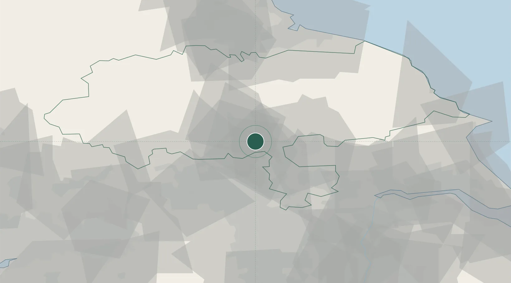
Location
Nearby Logistics Neighbours
Cities
- 1Flaxby2 km
- 2Ealand3 km
- 3Bilton9 km
- 4Hessay13 km
- 5Upper Poppleton15 km
Ports
- 1Howdendyke44 km
- 2Goole49 km
- 3Scarborough71 km
- 4Whitby73 km
- 5Teesport74 km
Airports
- 1Leeds East Airport22 km
- 2RAF Topcliffe23 km
- 3Leeds Bradford Airport24 km
- 4RAF Leeming35 km
- 5Teesside International Airport57 km
Trade Zones
DatabookThe Record of Consolidated Knowledge
United Kingdom beyond logistics?