Channel & Berth Profile
Pilotage, Tugs & Services
Pilotage compulsoryYES
Pilotage availableYES
Pilotage advisableYES
Tug assistanceNO
Salvage tugsNO
Potable waterYES
Diesel bunkersYES
MedicalYES
Garbage disposalYES
Facilities & Capabilities
Container—
Ro-Ro—
Liquid bulk—
Dry bulk—
Oil terminal—
Break bulk—
Dry dock—
RepairsNO
BunkeringYES
Rail linkYES
Dangerous cargo—
ISPS security—
Harbour Specifications
Harbour size
Very Small
Harbour type
Coastal (Breakwater)
Shelter
Good
Water body
North Sea; North Atlantic Ocean
Tidal range
1 m
Pilotage
Yes
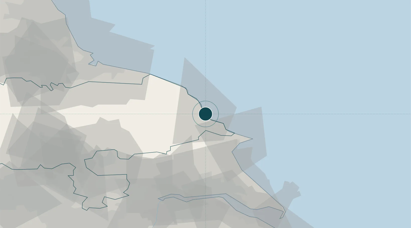
Location
Nearby Logistics Neighbours
Ports
- 1Whitby26 km
- 2Bridlington26 km
- 3Kingston Upon Hull60 km
- 4Teesport63 km
- 5New Holland65 km
Cities
- 1Robin Hoods Bay14 km
- 2Sherburn15 km
- 3Crawley Down20 km
- 4Wintringham23 km
- 5Pickering25 km
Airports
- 1RAF Topcliffe64 km
- 2Teesside International Airport71 km
- 3Leeds East Airport72 km
- 4RAF Leeming74 km
- 5Humberside Airport79 km
Trade Zones
DatabookThe Record of Consolidated Knowledge
United Kingdom beyond logistics?